Solas Consolidated Edition 2009.pdf
Solas Consolidated Edition 2009 for maritime
Solas Consolidated Edition 2009 for maritime
Create successful ePaper yourself
Turn your PDF publications into a flip-book with our unique Google optimized e-Paper software.
Chapter V: Safety of navigation<br />
Regulation 32<br />
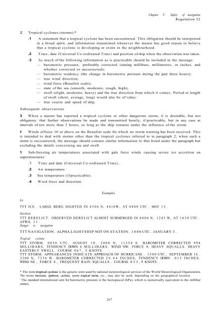
2 Tropical cyclones (storms):*<br />
.1 A statement that a tropical cyclone has been encountered. This obligation should be interpreted<br />
in a broad spirit, and information transmitted whenever the master has good reason to believe<br />
that a tropical cyclone is developing or exists in the neighbourhood.<br />
.2 Time, date (Universal Co-ordinated Time) and position of ship when the observation was taken.<br />
.3 As much of the following information as is practicable should be included in the message:<br />
— barometric pressure, 1 preferably corrected (stating millibars, millimetres, or inches, and<br />
whether corrected or uncorrected);<br />
— barometric tendency (the change in barometric pressure during the past three hours);<br />
— true wind direction;<br />
— wind force (Beaufort scale);<br />
— state of the sea (smooth, moderate, rough, high);<br />
— swell (slight, moderate, heavy) and the true direction from which it comes. Period or length<br />
of swell (short, average, long) would also be of value;<br />
— true course and speed of ship.<br />
Subsequent observations<br />
3 When a master has reported a tropical cyclone or other dangerous storm, it is desirable, but not<br />
obligatory, that further observations be made and transmitted hourly, if practicable, but in any case at<br />
intervals of not more than 3 hours, so long as the ship remains under the influence of the storm.<br />
4 Winds of force 10 or above on the Beaufort scale for which no storm warning has been received. This<br />
is intended to deal with storms other than the tropical cyclones referred to in paragraph 2; when such a<br />
storm is encountered, the message should contain similar information to that listed under the paragraph but<br />
excluding the details concerning sea and swell.<br />
5 Sub-freezing air temperatures associated with gale force winds causing severe ice accretion on<br />
superstructures:<br />
.1 Time and date (Universal Co-ordinated Time).<br />
.2 Air temperature.<br />
.3 Sea temperature (if practicable).<br />
.4 Wind force and direction.<br />
Ice<br />
Examples<br />
TTT ICE . LARGE BERG SIGHTED IN 4506 N, 4410W, AT 0800 UTC . MAY 15.<br />
Derelicts<br />
TTT DERELICT. OBSERVED DERELICT ALMOST SUBMERGED IN 4006 N, 1243 W, AT 1630 UTC .<br />
APRIL 21.<br />
Danger to navigation<br />
TTT NAVIGATION . ALPHA LIGHTSHIP NOT ON STATION . 1800 UTC . JANUARY 3 .<br />
Tropical cyclone<br />
TTT STORM. 0030 UTC. AUGUST 18. 2004 N, 11354 E. BAROMETER CORRECTED 994<br />
MILLIBARS, TENDENCY DOWN 6 MILLIBARS. WIND NW, FORCE 9, HEAVY SQUALLS. HEAVY<br />
EASTERLY SWELL. COURSE 067, 5 KNOTS.<br />
TTT STORM. APPEARANCES INDICATE APPROACH OF HURRICANE . 1300 UTC . SEPTEMBER 14 .<br />
2200 N, 7236 W. BAROMETER CORRECTED 29.64 INCHES, TENDENCY DOWN .015 INCHES.<br />
WIND NE , FORCE 8 , FREQUENT RAIN SQUALLS . COURSE 035,9 KNOTS .<br />
* The term tropical cyclone is the generic term used by national meteorological services of the World Meterological Organization.<br />
The terms hurricane, typhoon, cyclone, severe tropical storm, etc., may also be used, depending on the geographical location.<br />
f<br />
The standard international unit for barometric pressure is the hectopascal (hPa), which is numerically equivalent to the millibar<br />
(mbar).<br />
267


