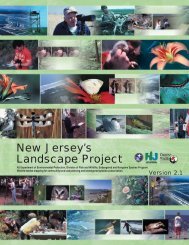
Landscape Project Version 3.1 - State of New Jersey
Landscape Project Version 3.1 - State of New Jersey
Landscape Project Version 3.1 - State of New Jersey

Create successful ePaper yourself
Turn your PDF publications into a flip-book with our unique Google optimized e-Paper software.
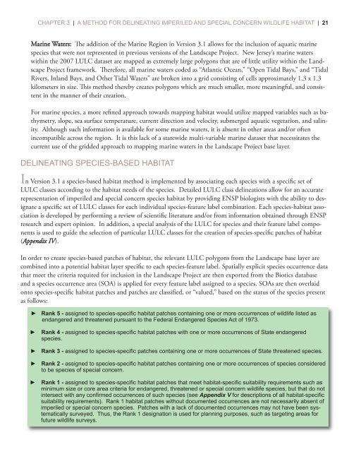
CHAPTER 3 | A METHOD FOR DELINEATING IMPERILED AND SPECIAL CONCERN WILDLIFE HABITAT | 21Marine Waters: e addition <strong>of</strong> the Marine Region in <strong>Version</strong> <strong>3.1</strong> allows for the inclusion <strong>of</strong> aquatic marinespecies that were not represented in previous versions <strong>of</strong> the <strong>Landscape</strong> <strong>Project</strong>. <strong>New</strong> <strong>Jersey</strong>’s marine waterswithin the 2007 LULC dataset are mapped as extremely large polygons that are <strong>of</strong> little utility within the <strong>Landscape</strong><strong>Project</strong> framework. erefore, all marine waters coded as “Atlantic Ocean,” “Open Tidal Bays,” and “TidalRivers, Inland Bays, and Other Tidal Waters” are broken into a grid consisting <strong>of</strong> cells approximately 1.3 x 1.3kilometers in size. is method thereby creates polygons which are much smaller, more meaningful, and consistentin the manner <strong>of</strong> their creation.For marine species, a more refined approach towards mapping habitat would utilize mapped variables such as bathymetry,slope, sea surface temperature, current direction and velocity, submerged aquatic vegetation, and salinity.Although such information is available for some marine waters, it is absent in other areas and/or <strong>of</strong>tenincompatible across the region. It is this lack <strong>of</strong> a statewide multi-variable marine dataset that necessitates thecurrent use <strong>of</strong> the gridded approach to mapping marine waters in the <strong>Landscape</strong> <strong>Project</strong> base layer.DELINEATING SPECIES-BASED HABITATIn <strong>Version</strong> <strong>3.1</strong> a species-based habitat method is implemented by associating each species with a specific set <strong>of</strong>LULC classes according to the habitat needs <strong>of</strong> the species. Detailed LULC class delineations allow for an accuraterepresentation <strong>of</strong> imperiled and special concern species habitat by providing ENSP biologists with the ability to designatea specific set <strong>of</strong> LULC classes for each individual species-feature label combination. Each species-habitat associationis developed by performing a review <strong>of</strong> scientific literature and/or from information obtained through ENSPresearch and expert opinion. In addition, a special analysis <strong>of</strong> the LULC for species and their feature label componentsis used to guide the selection <strong>of</strong> particular LULC classes for the creation <strong>of</strong> species-specific patches <strong>of</strong> habitat(Appendix IV).In order to create species-based patches <strong>of</strong> habitat, the relevant LULC polygons from the <strong>Landscape</strong> base layer arecombined into a potential habitat layer specific to each species-feature label. Spatially explicit species occurrence datathat meet the criteria required for inclusion in the <strong>Landscape</strong> <strong>Project</strong> are then exported from the Biotics databaseand a species occurrence area (SOA) is applied for every feature label assigned to a species. SOAs are then overlaidonto species-specific habitat patches and patches are classified, or “valued,” based on the status <strong>of</strong> the species presentas follows:► Rank 5 - assigned to species-specific habitat patches containing one or more occurrences <strong>of</strong> wildlife listed asendangered and threatened pursuant to the Federal Endangered Species Act <strong>of</strong> 1973.► Rank 4 - assigned to species-specific habitat patches with one or more occurrences <strong>of</strong> <strong>State</strong> endangeredspecies.► Rank 3 - assigned to species-specific patches containing one or more occurrences <strong>of</strong> <strong>State</strong> threatened species.► Rank 2 - assigned to species-specific habitat patches containing one or more occurrences <strong>of</strong> species consideredto be species <strong>of</strong> special concern.► Rank 1 - assigned to species-specific habitat patches that meet habitat-specific suitability requirements such asminimum size or core area criteria for endangered, threatened or special concern wildlife species, but that do notintersect with any confirmed occurrences <strong>of</strong> such species (see Appendix V for descriptions <strong>of</strong> all habitat-specificsuitability requirements). Rank 1 habitat patches without documented occurrences are not necessarily absent <strong>of</strong>imperiled or special concern species. Patches with a lack <strong>of</strong> documented occurrences may not have been systematicallysurveyed. Thus, the Rank 1 designation is used for planning purposes, such as targeting areas forfuture wildlife surveys.