Landscape Project Version 3.1 - State of New Jersey
Landscape Project Version 3.1 - State of New Jersey
Landscape Project Version 3.1 - State of New Jersey
Create successful ePaper yourself
Turn your PDF publications into a flip-book with our unique Google optimized e-Paper software.
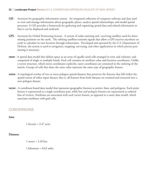
32 | <strong>Landscape</strong> <strong>Project</strong> <strong>Version</strong> <strong>3.1</strong> | CONSERVING IMPERILED WILDLIFE OF NEW JERSEYGIS - Acronym for geographic information system. An integrated collection <strong>of</strong> computer s<strong>of</strong>tware and data usedto view and manage information about geographic places, analyze spatial relationships, and model spatialprocesses. A GIS provides a framework for gathering and organizing spatial data and related information sothat it can be displayed and analyzed.GPS - Acronym for Global Positioning System. A system <strong>of</strong> radio-emitting and –receiving satellites used for determiningpositions on the earth. e orbiting satellites transmit signals that allow a GPS receiver anywhere onearth to calculate its own location through trilateration. Developed and operated by the U.S. Department <strong>of</strong>Defense, the system is used in navigation, mapping, surveying, and other applications in which precise positioningis necessary.raster - A spatial data model that defines space as an array <strong>of</strong> equally sized cells arranged in rows and columns, andcomprised <strong>of</strong> single or multiple bands. Each cell contains an attribute value and location coordinates. Unlikea vector structure, which stores coordinates explicitly, raster coordinates are contained in the ordering <strong>of</strong> thematrix. Groups <strong>of</strong> cells that share the same value represent the same type <strong>of</strong> geographic feature.union - A topological overlay <strong>of</strong> two or more polygon spatial datasets that preserves the features that fall within thespatial extent <strong>of</strong> either input dataset; that is, all features from both datasets are retained and extracted into anew polygon dataset.vector - A coordinate-based data model that represents geographic features as points, lines, and polygons. Each pointfeature is represented as a single coordinate pair, while line and polygon features are represented as orderedlists <strong>of</strong> vertices. Attributes are associated with each vector feature, as opposed to a raster data model, whichassociates attributes with grid cells.CONVERSIONSArea:1 hectare = 2.47 acresDistance:1 meter = 3.28 feet1 kilometer = 0.62 miles


