Master Plan - City of Troy
Master Plan - City of Troy
Master Plan - City of Troy

Create successful ePaper yourself
Turn your PDF publications into a flip-book with our unique Google optimized e-Paper software.
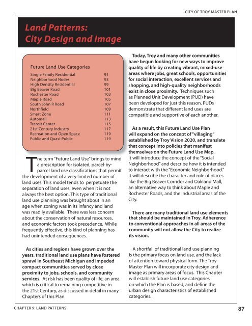
CITY OF TROY MASTER PLANLand Patterns:<strong>City</strong> Design and ImageFuture Land Use CategoriesSingle Family Residential 91Neighborhood Nodes 93High Density Residential 99Big Beaver Road 101Rochester Road 103Maple Road 105South John R Road 107Northfield 109Smart Zone 111Automall 113Transit Center 11521st Century Industry 117Recreation and Open Space 119Public and Quasi-Public 119The term “Future Land Use” brings to minda prescription for isolated, parcel-byparcelland use classifications that permitthe development <strong>of</strong> a very limited number <strong>of</strong>land uses. This model tends to perpetuate theseparation <strong>of</strong> land uses, even when it is notalways the best option. This type <strong>of</strong> traditionalland use planning was brought about in anage when zoning was in its infancy and landwas readily available. There was less concernabout the conservation <strong>of</strong> natural resources,and economic factors took precedence. Whilefrequently effective, this kind <strong>of</strong> planning hashad unintended consequences.As cities and regions have grown over theyears, traditional land use plans have fosteredsprawl in Southeast Michigan and impededcompact communities served by closeproximity to jobs, schools, and communityservices. At risk has been quality <strong>of</strong> life, an areawhich is critical to remaining competitive inthe 21st Century, as discussed in detail in manyChapters <strong>of</strong> this <strong>Plan</strong>.Today, <strong>Troy</strong> and many other communitieshave begun looking for new ways to improvequality <strong>of</strong> life by creating vibrant, mixed-useareas where jobs, great schools, opportunitiesfor social interaction, excellent services andshopping, and high-quality neighborhoodsexist in close proximity. Techniques suchas <strong>Plan</strong>ned Unit Development (PUD) havebeen developed for just this reason. PUDsdemonstrate that different land uses arecompatible and supportive <strong>of</strong> each another.As a result, this Future Land Use <strong>Plan</strong>will expand on the concept <strong>of</strong> “villaging”established by <strong>Troy</strong> Vision 2020, and translatethat concept into policies that manifestthemselves on the Future Land Use Map.It will introduce the concept <strong>of</strong> the “SocialNeighborhood” and describe how it is intendedto interact with the “Economic Neighborhood.”It will describe the character and role <strong>of</strong> placeslike the Big Beaver Corridor and Oakland Mall,an alternative way to think about Maple andRochester Roads, and the industrial areas <strong>of</strong> the<strong>City</strong>.There are many traditional land use elementsthat should be maintained in <strong>Troy</strong>. Adherenceto conventional approaches in all areas <strong>of</strong> thecommunity will not allow the <strong>City</strong> to realizeits vision.A shortfall <strong>of</strong> traditional land use planningis the primary focus on land use, and the lack<strong>of</strong> attention toward physical form. The <strong>Troy</strong><strong>Master</strong> <strong>Plan</strong> will incorporate city design andimage as primary areas <strong>of</strong> focus. This Chapterwill establish future land use categorieson which the <strong>Plan</strong> is based, and define theurban design characteristics <strong>of</strong> establishedcategories.CHAPTER 9: LAND PATTERNS87