Westerly - State of Rhode Island: Division of Planning
Westerly - State of Rhode Island: Division of Planning
Westerly - State of Rhode Island: Division of Planning
Create successful ePaper yourself
Turn your PDF publications into a flip-book with our unique Google optimized e-Paper software.
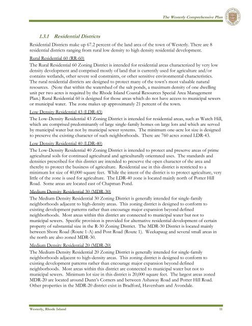
The <strong>Westerly</strong> Comprehensive Plan1.3.1 Residential DistrictsResidential Districts make up 67.2 percent <strong>of</strong> the land area <strong>of</strong> the town <strong>of</strong> <strong>Westerly</strong>. There are 8residential districts ranging from rural low density to high density residential development.Rural Residential 60 (RR-60)The Rural Residential 60 Zoning District is intended for residential areas characterized by very lowdensity development and comprised mostly <strong>of</strong> land that is currently used for agriculture and/orcontains wetlands, other severe soil constraints, or other sensitive environmental characteristics.The rural residential districts are designed to protect many <strong>of</strong> the town’s most valuable naturalresources. (Note that within the watershed <strong>of</strong> the salt ponds, a maximum density <strong>of</strong> one dwellingunit per two acres is required by the <strong>Rhode</strong> <strong>Island</strong> Coastal Resources Special Area ManagementPlan.) Rural Residential 60 is designed for those areas which do not have access to municipal sewersor municipal water. The zone makes up approximately 21 percent <strong>of</strong> the town.Low Density Residential 43 (LDR-43)The Low-Density Residential 43 Zoning District is intended for residential areas, such as Watch Hill,which are comprised predominantly <strong>of</strong> large single-family homes on large lots and which are servedby municipal water but not by municipal sewer systems. The minimum one-acre lot size is designedto preserve the existing character <strong>of</strong> such neighborhoods. There are 760 acres zoned LDR-43.Low Density Residential 40 (LDR-40)The Low-Density Residential 40 Zoning District is intended to protect and preserve areas <strong>of</strong> primeagricultural soils for continued agricultural and agriculturally orientated uses. The standards anddensities prescribed for this district are intended to preserve the open character <strong>of</strong> the area andthereby to protect the business <strong>of</strong> agriculture. Residential use in this district is restricted to aminimum lot size <strong>of</strong> 40,000 square feet. While the intent <strong>of</strong> the district is to protect agriculture, verylittle <strong>of</strong> the zone is used for agriculture. The LDR-40 zone is located mainly north <strong>of</strong> Potter HillRoad. Some areas are located east <strong>of</strong> Chapman Pond.Medium Density Residential 30 (MDR-30)The Medium-Density Residential 30 Zoning District is generally intended for single-familyneighborhoods adjacent to high-density areas. This zoning district is designed to conform toexisting development patterns rather than encourage major expansion beyond definedneighborhoods. Most areas within this district are connected to municipal water but not tomunicipal sewers. Specific provision is provided for alternative residential development <strong>of</strong> certainproperty <strong>of</strong> substantial size in the R-30 Zoning District. The MDR-30 District is located mainlybetween Shore Road (Route 1-A) and Post Road (Route 1). Weekapaug and several small areas inthe north are also zoned MDR-30.Medium Density Residential 20 (MDR-20)The Medium-Density Residential 20 Zoning District is generally intended for single-familyneighborhoods adjacent to high-density areas. This zoning district is designed to conform toexisting development patterns rather than encourage major expansion beyond definedneighborhoods. Most areas within this district are connected to municipal water but not tomunicipal sewers. Minimum lot size in this district is 20,000 square feet. The largest areas zonedMDR-20 are located around Dunn’s Corners and between Ashaway Road and Potter Hill Road.Other properties in the MDR-20 district exist in Bradford, Haversham and Avondale.<strong>Westerly</strong>, <strong>Rhode</strong> <strong>Island</strong> 11


