Westerly - State of Rhode Island: Division of Planning
Westerly - State of Rhode Island: Division of Planning
Westerly - State of Rhode Island: Division of Planning
Create successful ePaper yourself
Turn your PDF publications into a flip-book with our unique Google optimized e-Paper software.
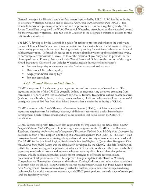
The <strong>Westerly</strong> Comprehensive PlanGeneral oversight for <strong>Rhode</strong> <strong>Island</strong>’s surface waters is provided by RIRC. RIRC has the authorityto designate Watershed Councils and to create a Rivers Policy and Classification Plan (RPCP). TheCouncil’s function is planning, coordination and empowerment; it is not a regulatory body. TheRivers Council has designated the Wood-Pawcatuck Watershed Association as the watershed councilfor the Pawcatuck Watershed. The Salt Ponds Coalition is the designated watershed council for theSalt Ponds watersheds.The RPCP, developed by the Council, is a guide for action to protect and enhance the quality andthe use <strong>of</strong> <strong>Rhode</strong> <strong>Island</strong>'s fresh and estuarine waters and their watersheds. It endeavors to integratewater quality planning with land use planning and with planning for activities such as recreation andhabitat preservation. Its broad objectives are to protect drinking water supplies and pristine rivers,to encourage recreational use <strong>of</strong> rivers, to foster the creation <strong>of</strong> greenways, and to provide for theclean-up <strong>of</strong> rivers. Primary objectives for the Wood-Pawcatuck Subbasin (the portion <strong>of</strong> the largerWood-Pawcatuck Watershed that includes <strong>Westerly</strong>) include (in order <strong>of</strong> importance):• Preserve its quality as the state’s premier freshwater recreational resource• Maintain wildlife habitat quality• Keep groundwater quality high• Preserve agriculture4.4.2 Coastal Waters and Salt PondsCRMC is responsible for the management, protection and enhancement <strong>of</strong> coastal areas. Theregulatory authority <strong>of</strong> the CRMC is generally defined as encompassing the areas extending fromthree miles <strong>of</strong>fshore to 250 feet inland from any coastal feature. In addition, natural coastal features(such as coastal beaches, dunes, barriers, coastal wetlands, bluffs and salt ponds) all have an extendedcontiguous area <strong>of</strong> 200 feet from their inland borders that is under the authority <strong>of</strong> CRMC.CRMC administers the Coastal Resources Management Program (CRMP), which includes specificregulatory requirements for buffers, setbacks, subdivisions, recreational docks, barrier beachdevelopment, beach replenishment and any other activities that occur within the CRMC’sjurisdiction.CRMC in partnership with RIDEM is also responsible for implementing the <strong>Rhode</strong> <strong>Island</strong> CoastalNonpoint Pollution Control Program. Other management programs <strong>of</strong> the CRMC are the Rules andRegulations Governing the Protection and Management <strong>of</strong> Freshwater Wetlands in the Vicinity <strong>of</strong> the Coast (see theWetlands section <strong>of</strong> this chapter) and the Special Area Management Plan (SAMP). The SAMP is anecosystem-based management strategy designed to address a diversity <strong>of</strong> issues on a watershed scale.The SAMP for the Salt Pond Region, <strong>Rhode</strong> <strong>Island</strong>’s Salt Pond Region: A Special Area Management Plan(Maschaug to Point Judith Ponds), was the first SAMP developed by the CRMC. The Salt Pond RegionSAMP focuses on managing the potential development <strong>of</strong> the salt ponds watersheds and establishesregulatory standards to protect and improve salt pond water quality. It also identifies pollutionsources, wildlife habitat and prudent development strategies to effectuate restoration andpreservation <strong>of</strong> salt pond resources. The approved five-year update to the Town <strong>of</strong> <strong>Westerly</strong>Comprehensive Plan requires changes to the existing Zoning Ordinance and subdivision regulationsto comply with the <strong>Rhode</strong> <strong>Island</strong> Coastal Resources Management Council Salt Pond Region SpecialArea Management Plan (maximum density, setbacks, buffers, requirements for nitrogen-reducingtechnologies for onsite wastewater treatment, and CRMC participation at an early stage <strong>of</strong> municipalland-use regulatory review).<strong>Westerly</strong>, <strong>Rhode</strong> <strong>Island</strong> 47


