NJDEP - NJGS - Bulletin 66, Mapping Digest for New Jersey, 1965
NJDEP - NJGS - Bulletin 66, Mapping Digest for New Jersey, 1965
NJDEP - NJGS - Bulletin 66, Mapping Digest for New Jersey, 1965
Create successful ePaper yourself
Turn your PDF publications into a flip-book with our unique Google optimized e-Paper software.
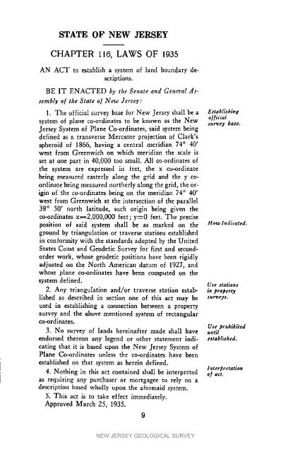
STATE OF NEWJERSEYCHAPTER 116, LAWS OF 1935AN ACT to establish a system of land boundary descriptlons.BE IT ENACTED by the Senate and General Assemblyof the State of <strong>New</strong> <strong>Jersey</strong>:1. The official survey base <strong>for</strong> <strong>New</strong> <strong>Jersey</strong> shall be a EaabliJhlnasystem of plane co-ordinates to be known as the <strong>New</strong> sur_ey oHiclal base.<strong>Jersey</strong> System of Plane Co-ordinates, said system beingdefined as a transverse Mercator projection of Clark'sspheroid of 18<strong>66</strong>, having a central meridian 74 ° 40'west from Greenwich on which meridian the scale isset at one part in 40,000 too small. All co-ordinates ofthe system are expressed in feet, the x co-ordinatebeing measured easterly along the grid and the y coordlnatebeing measured northerly along the grid, the originof the co-ordinates being on the meridian 74 ° 40'west from Greenwich at the intersection of the parallel38 ° 50' north latitude, such origin being given theco-ordinates x_2,000,000 feet; y=0 feet. The preciseposition of said system shall be as marked on the Ho*alndlcated.ground by triangulation or traverse stations establlshedin con<strong>for</strong>mity with the standards adopted by the UnitedStates Coast and Geodetic Survey <strong>for</strong> first and secondorderwork, whose geodetic positions have been rigidlyadjusted on the North American datum of 1927, andwhose plane co-ordinates have been cmnputed on thesystem defined. Ute stations2. Any triangulation and/or traverse station estab- in #ro#ertylished as described in section one of this act may be sur_eys.used in establishing a connection between a propertysurvey and the above mentioned system of rectangularco-ordlnates.Use #rohiblted3. No survey of lands hereinafter made shall have untilendorsed thereon any legend or other statement indl- ettabhshd.catlng that it is based upon the <strong>New</strong> <strong>Jersey</strong> System ofPlane Co-ordlnates unless the co-ordlnates have beenestablished on that system as herein defined.lnter2bretation4. Nothing in this act contained shall be interpreted o.f act.as requfring any purchaser or mortgagee to rely on adescription based wholly upon the a<strong>for</strong>esaid system.5. This act is to take effect immediately.Approved March 25, 1935.9NEW JERSEY GEOLOGICAL SURVEY


