NJDEP - NJGS - Bulletin 66, Mapping Digest for New Jersey, 1965
NJDEP - NJGS - Bulletin 66, Mapping Digest for New Jersey, 1965
NJDEP - NJGS - Bulletin 66, Mapping Digest for New Jersey, 1965
Create successful ePaper yourself
Turn your PDF publications into a flip-book with our unique Google optimized e-Paper software.
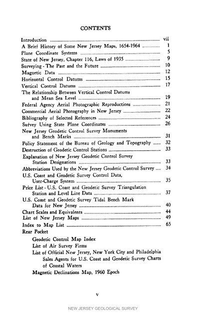
CONTENTSIntroduction ........................................................................................ viiA Brief History of Some <strong>New</strong> <strong>Jersey</strong> Maps, 1654-1964 .............. 1Plane Coordinate Systems ................................................................ 5State of <strong>New</strong> <strong>Jersey</strong>, Chapter 116, Laws of 1935 ............................ 9Surveylng-The Past and the Future ................................................ 10Magnetlc Data .................................................................................. 12Horizontal Control Datums ............................................................ 15Vertical Control Datums .................................................................. 17The Relationship Between Vertical Control Datumsand Mean Sea Level .................................................................. 19Federal Agency Aerial Photographic Reproductions ...................... 21Commercial Aerial Photography in <strong>New</strong> <strong>Jersey</strong> .............................. 22Bibliography of Selected References .................................................. 24Su/'vey Using State Plane Coordinates .......................................... 26<strong>New</strong> <strong>Jersey</strong> Geodetic Control Survey Monumentsand Bench Marks ...................................................................... 31Policy Statement of the Bureau of Geology and Topography ...... 32Destruction of Geodetic Control Stations .......................................... 33Explanation of <strong>New</strong> <strong>Jersey</strong> Geodetic Control SurveyStation Designations .................................................................. 33Abbreviations Used by the <strong>New</strong> <strong>Jersey</strong> Geodetic Control Survey .... 34U.S. Coast and Geodetic Survey Control Data,User-Charge System .................................................................... 35Price List-U.S. Coast and Geodetic Survey TriangulationStation and Level Line Data ...................................................... 37U.S. Coast and Geodetic Survey Tidal Bench MarkData <strong>for</strong> <strong>New</strong> <strong>Jersey</strong> .................................................................. 40Chart Scales and Equivalents .............................................................. 44List of <strong>New</strong> <strong>Jersey</strong> Maps ................................................................ 49Index to Map List ............................................................................ 65Rear PocketGeodetic Control Map IndexList of Air Survey FirmsList of Official <strong>New</strong> <strong>Jersey</strong>, <strong>New</strong> York City and PhiladelphiaSales Agents <strong>for</strong> U.S. Coast and Geodetic Survey Chartsof Coastal WatersMagnetic Declinations Map, 1960 EpochVNEW JERSEY GEOLOGICAL SURVEY


