NJDEP - NJGS - Bulletin 66, Mapping Digest for New Jersey, 1965
NJDEP - NJGS - Bulletin 66, Mapping Digest for New Jersey, 1965
NJDEP - NJGS - Bulletin 66, Mapping Digest for New Jersey, 1965
You also want an ePaper? Increase the reach of your titles
YUMPU automatically turns print PDFs into web optimized ePapers that Google loves.
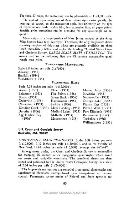
For these 27 maps, the contouring was by plane-table at 1:24,000 scale.The cost of reproducing any of these manuscripts varies greatly, depending,of course, on the manuscript scale, but primarily on the typeof reproductions made: stable film, less expensive film, or paper prints.Specific price quotations can be provided <strong>for</strong> any quadrangle oil request."Manuscripts of a large portion of <strong>New</strong> <strong>Jersey</strong> mapped by the ArmyMap Service have been destroyed. There<strong>for</strong>e, the only large-scale sheetscovering portions of this state which are presently available are thoselisted immediately below and under the heading "United States Coastand Geodetic Survey, LdRGE-SCdLE ACdPS (T-SHEETS)." Thenames used in the following lists are 7_-minute topographic quadranglemap titles.TOPOGRAPHICScale 8.8 inches per mile (1:7200):Alloway (19.55)Bushkill (1944)Woodstown (1955)PLANIMETRICMANUSCRIPTSBASESScale 5.28 inches per mile (1:12,000) :Atsion (1953) Elmer (1953) Mount Holiy (1953)Bridgeton (1953) Five Points (1956) <strong>New</strong>field (1953)Buena (1953) Green Bank (1956) <strong>New</strong>tonvilIe (1953)Cedarville (1956) Hammonton (1953) Oswego Lake (1955)Clementon (1953) Jenkins (1956) Pitman East (1953)Dividing Creek (1956) Mays Landing (1955) Pitman West (1953)Dorothy (1956) Med<strong>for</strong>d Lakes (I953) Port Elizabeth (1956)Egg Harbor City Millville (1953) Runnemede (1952)(1956) Moorestown (1953) Tuekahoe (1956)Williamstown (1953)U.S. Coast and Geodetic SurveyRockville, Md. 20852LdRGE-SCdLE MdPS (T-SHEETS). Scales 6.34 inches per mile(1:10,000), 3.17 inches per mile (1:20,000), and in the vicinity of<strong>New</strong> York 12.67 inches per mile (1:5,000), average size 26"x44".Among many duties, the Coast and Geodetic Survey is responsible<strong>for</strong> mapping 7J6-minute series topographic quadrangles which coversea coasts and navigable waterways. The completed sheets are thenedited and published by the United States Geological Survey on a scaleof 2.64 inches per mile (1:24,000).The large-scale manuscripts are compiled from aerial photographs andsupplemental planetable surveys based upon triangulation or traversecontrol. Permanent survey marks of Federal and State agencies are60NEW JERSEY GEOLOGICAL SURVEY


