Habitat Plan 2 - Onondaga Lake Partnership
Habitat Plan 2 - Onondaga Lake Partnership
Habitat Plan 2 - Onondaga Lake Partnership

Create successful ePaper yourself
Turn your PDF publications into a flip-book with our unique Google optimized e-Paper software.
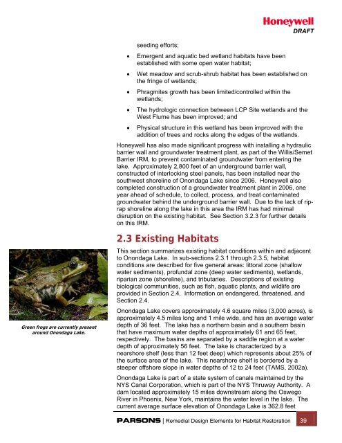
seeding efforts;• Emergent and aquatic bed wetland habitats have beenestablished with some open water habitat;DRAFT• Wet meadow and scrub-shrub habitat has been established onthe fringe of wetlands;• Phragmites growth has been limited/controlled within thewetlands;• The hydrologic connection between LCP Site wetlands and theWest Flume has been improved; and• Physical structure in this wetland has been improved with theaddition of trees and rocks along the edges of the wetlands.Honeywell has also made significant progress with installing a hydraulicbarrier wall and groundwater treatment plant, as part of the Willis/SemetBarrier IRM, to prevent contaminated groundwater from entering thelake. Approximately 2,800 feet of an underground barrier wall,constructed of interlocking steel panels, has been installed near thesouthwest shoreline of <strong>Onondaga</strong> <strong>Lake</strong> since 2006. Honeywell alsocompleted construction of a groundwater treatment plant in 2006, oneyear ahead of schedule, to collect, process, and treat contaminatedgroundwater behind the underground barrier wall. Due to the lack of riprapshoreline along the lake in this area the IRM has had minimaldisruption on the existing habitat. See Section 3.2.3 for further detailson this IRM.Green frogs are currently presentaround <strong>Onondaga</strong> <strong>Lake</strong>.2.3 Existing <strong>Habitat</strong>sThis section summarizes existing habitat conditions within and adjacentto <strong>Onondaga</strong> <strong>Lake</strong>. In sub-sections 2.3.1 through 2.3.5, habitatconditions are described for five general areas: littoral zone (shallowwater sediments), profundal zone (deep water sediments), wetlands,riparian zone (shoreline), and tributaries. Descriptions of existingbiological communities, such as fish, aquatic plants, and wildlife areprovided in Section 2.4. Information on endangered, threatened, andSection 2.4.<strong>Onondaga</strong> <strong>Lake</strong> covers approximately 4.6 square miles (3,000 acres), isapproximately 4.5 miles long and 1 mile wide, and has an average waterdepth of 36 feet. The lake has a northern basin and a southern basinthat have maximum water depths of approximately 61 and 65 feet,respectively. The basins are separated by a saddle region at a waterdepth of approximately 56 feet. The lake is characterized by anearshore shelf (less than 12 feet deep) which represents about 25% ofthe surface area of the lake. This nearshore shelf is bordered by asteeper offshore slope in water depths of 12 to 24 feet (TAMS, 2002a).<strong>Onondaga</strong> <strong>Lake</strong> is part of a state system of canals maintained by theNYS Canal Corporation, which is part of the NYS Thruway Authority. Adam located approximately 15 miles downstream along the OswegoRiver in Phoenix, New York, maintains the water level in the lake. Thecurrent average surface elevation of <strong>Onondaga</strong> <strong>Lake</strong> is 362.8 feetPARSONS | Remedial Design Elements for <strong>Habitat</strong> Restoration 39