View File - Development Services - City of Oxnard
View File - Development Services - City of Oxnard
View File - Development Services - City of Oxnard
Create successful ePaper yourself
Turn your PDF publications into a flip-book with our unique Google optimized e-Paper software.
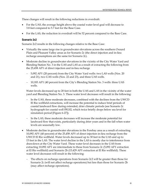
WATER RESOURCES TECHNICAL REPORTThese changes will result in the following reductions in overdraft:• For the UAS, the average height above the coastal water level goal will decrease to3.8 feet compared to 5.7 feet for the Base Case.• For the LAS, the reduction in overdraft will be 52 percent compared to the Base Case.Scenario 2c2Scenario 2c2 results in the following changes relative to the Base Case:• Virtually the same large rise in groundwater elevations across the southern <strong>Oxnard</strong>Plain and Pleasant Valley areas as for Scenario 2c (the direct injection and in-lieurecharge assumptions are the same for Scenario 2c).• Moderate decline in groundwater elevations in the vicinity <strong>of</strong> the <strong>City</strong> Water Yard andBlending Station No. 3 in the UAS and LAS as a result <strong>of</strong> extracting the following fromthe 25,458 AFY <strong>of</strong> direct injection and in-lieu recharge− 5,092 AFY (20 percent) from the <strong>City</strong> Water Yard wells: two LAS wells (Nos. 20and 21), two UAS wells (Nos. 22 and 23), and three UAS wells.−10,183 AFY (40 percent from the <strong>City</strong>’s Blending Station No. 3 wells: three UASwells.Water levels decreased up to 20 feet in both the UAS and LAS in the vicinity <strong>of</strong> the wateryard and Blending Station No. 3. These water level decreases will result in the following:−−In the UAS, these moderate decreases, combined with the declines from the UWCDEl Rio wellfield extractions, will increase the potential to induce brief periods <strong>of</strong>coastal landward flow during extended, drier climatic periods (see Scenario 2chydrograph for coastal well 05G02, which twice briefly drops below sea level forsimulation period [Figure 6-27]).In the LAS, these moderate decreases will increase the moderate potential forlandward flow that exists, particularly during drier years and in the fall when waterlevels are seasonally low.• Moderate decline in groundwater elevations in the Forebay area as a result <strong>of</strong> extracting10,092 AFY (40 percent) <strong>of</strong> the 25,458 AFY <strong>of</strong> direct injection in-lieu recharge from theUWCD El Rio wellfield. Water levels decreased up to 30 feet in the UAS and up to15 feet in the LAS. The water level decline in the LAS is mostly due to interference fromdrawdown at the <strong>City</strong> Water Yard. These water level decreases in the UAS fromextracting 10,092 AFY are intermediate to those from Scenario 2c (5,092 AFY extractionat El Rio wellfield) and Scenario 2b (15,429 AFY extraction at El Rio wellfield). Thesewater level decreases will result in the following:−The effects on recharge operations from Scenario 2c2 will be greater than those forScenario 2c (will not affect recharge operations) but less than those for Scenario 2b(may affect recharge operations).W112003002SCO LW1458.DOC/ 033390002 93


