Regional Plan of Conservation and Development, 2006-2015
Regional Plan of Conservation and Development, 2006-2015
Regional Plan of Conservation and Development, 2006-2015
You also want an ePaper? Increase the reach of your titles
YUMPU automatically turns print PDFs into web optimized ePapers that Google loves.
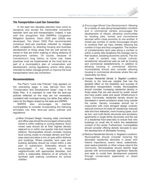
<strong>Regional</strong> <strong>Plan</strong> <strong>of</strong> <strong>Conservation</strong> <strong>and</strong> <strong>Development</strong>, <strong>2006</strong>-<strong>2015</strong>The Transportation-L<strong>and</strong> Use ConnectionIn the past two decades planners have come torecognize <strong>and</strong> accept the inextricable connectionbetween l<strong>and</strong> use <strong>and</strong> transportation. Indeed, it waswith this recognition that SWRPA’s CongestionMitigation Systems: Vision 2020 plan (2003) wasdeveloped. The Vision 2020 <strong>Plan</strong> recommendednumerous l<strong>and</strong>-use practices intended to mitigatetraffic congestion by directing housing <strong>and</strong> businessdevelopment to those areas that are well served bytransit or that are within walking or biking distance <strong>of</strong>employment centers. Of course, because <strong>of</strong>Connecticut’s long history <strong>of</strong> home rule, thesepractices must be implemented at the local level aspart <strong>of</strong> a municipality’s plan <strong>of</strong> conservation <strong>and</strong>development, zoning regulations, <strong>and</strong>/or other plansintended to better manage growth or improve the localtransportation-l<strong>and</strong> use connection.RecommendationsThe <strong>Plan</strong>’s “L<strong>and</strong> Use Policies” map appears onthe preceding page; it was derived from the“<strong>Conservation</strong> <strong>and</strong> <strong>Development</strong> Areas” map in theState <strong>Plan</strong>. It is important to note that the l<strong>and</strong>-usepolicies reflected on the map are not necessarilyconsistent with municipal zoning, but rather, they reflect avision for the Region shared by the state <strong>and</strong> SWRPA.SWRPA also encourages its membermunicipalities to consider incorporating the followingprinciples into their l<strong>and</strong>-use plans, policies <strong>and</strong>regulations:❑ Allow Compact Design: Housing, retail, commercial<strong>and</strong> <strong>of</strong>fice uses should be encouraged where publictransit is within walking or cycling distance. Suchmixed uses should be at their highest densityadjacent to or within one-quarter mile from transitstations. Municipalities should consider revisinglocal zoning codes to increase density <strong>and</strong> floorarea-ratios<strong>and</strong> allow a mix <strong>of</strong> uses within districts<strong>and</strong> buildings. Where possible, l<strong>and</strong> uses <strong>and</strong>building densities should be mixed within a siteplan or subdivision. Sidewalks should beencouraged, if not required, in thoseneighborhoods with appropriate densities, <strong>and</strong>within a reasonable distance <strong>of</strong> all schools t<strong>of</strong>acilitate safe walking conditions for schoolchildren.❑ Encourage Mixed Use <strong>Development</strong>: Allowingfor a variety <strong>of</strong> uses along transportation corridors<strong>and</strong> in commercial centers encourages thedevelopment <strong>of</strong> vibrant, attractive communitiesby locating jobs, homes <strong>and</strong> convenienceservices within close proximity to one another. Amixed-use corridor or center encourages driversto combine their car trips, thereby reducing thenumber <strong>of</strong> trips <strong>and</strong> thus congestion. The location<strong>of</strong> complementary l<strong>and</strong> uses along a corridor orwithin a center also lengthens the average visit tothat location, boosting economic activity. The mix<strong>of</strong> uses in centers may include cultural,recreational, educational uses as well as housing<strong>and</strong> commercial establishments. In addition toallowing housing in commercial districts,municipalities should also consider allowinghousing in commercial structures where this canreasonably be done.❑ Increase Residential Density in Targeted Locations:Density is the l<strong>and</strong>-use variable that has thegreatest effect on the feasibility <strong>and</strong> success <strong>of</strong>alternative transportation modes. Municipalitiesshould consider increasing residential density inthose areas that are well served by public transit<strong>and</strong> have public water <strong>and</strong> sewer infrastructure inplace. Conversely, residential density should bedecreased in sewer-avoidance areas lying outsidethe center. Density increases should be inconjunction with more stringent design controls;reduced minimum lot sizes for residences; reducedside <strong>and</strong> front setbacks; more housing types, suchas two- <strong>and</strong> multi-family structures <strong>and</strong> accessoryapartments in single family structures; <strong>and</strong> the use<strong>of</strong> a residential floor-area-ratio to ensure that newbuildings on small lots fit within the establishedcontext <strong>of</strong> the center. Furthermore, municipalitiesshould consider <strong>of</strong>fering density bonuses to spurthe development <strong>of</strong> affordable housing.❑ Reduce Residential Density in Targeted Locations:Municipalities should consider lowering theallowable residential densities in areas withhistoric importance, scenic views, watersheds,open space potential, or other unique value to thecommunity. Municipalities should identify largeparcels with environmentally significant features<strong>and</strong> seek to curtail their development potentialthrough conservation easements or directacquisition.23


