Level 2 Strategic Flood Risk Assessment (.pdf ... - Wigan Council
Level 2 Strategic Flood Risk Assessment (.pdf ... - Wigan Council
Level 2 Strategic Flood Risk Assessment (.pdf ... - Wigan Council
You also want an ePaper? Increase the reach of your titles
YUMPU automatically turns print PDFs into web optimized ePapers that Google loves.
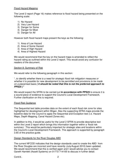
<strong>Flood</strong> Hazard MappingThe <strong>Level</strong> 2 report (Page 16) makes reference to flood hazard being presented on thefollowing scale:1) No Hazard2) Very Low Hazard3) Danger for Some4) Danger for Most5) Danger for AllHowever both flood hazard maps present the keys as the following:1) Area of Low Hazard2) Area of Some Hazard3) Area of High Hazard4) Area of Highest HazardWe would recommend that the key on the hazard maps is amended to reflect thehazard rating as outlined within the <strong>Level</strong> 2 report. This would avoid any confusion forreaders of the document.Section 8: Summary of <strong>Risk</strong>We would refer to the following paragraph in this section:“..to identify whether there is a need for strategic flood risk mitigation measures orwhether it is possible for new development to be permitted and provisions to be madeon a piecemeal basis ( it should be noted that this is not the preferred approach toPPS25 )”We would expect the SFRA to be carried out in accordance with PPS25 to ensure it isa sound piece of evidence to support the <strong>Council</strong>’s Local Development Framework.Further clarification on this is required.<strong>Flood</strong> <strong>Risk</strong> GuidanceThe Sequential test table provides data on the extent of each flood risk zone for siteshighlighted for development within <strong>Wigan</strong>. Also the supporting SFRA maps provide thebaseline data for the <strong>Council</strong> to apply the Sequential and Exception test (i.e. HazardMaps, Depth Mapping, Canal Hazard Zones etc).In addition to this, it would be useful for the <strong>Level</strong> 2 SFRA to provide descriptive textwithin the <strong>Level</strong> 2 report which brings this information together within a ‘flood risksummary’. This would be particularly important for strategic sites and locations withinthe <strong>Council</strong>’s Local Development Framework. This approach is supported by paragraph3.65 of the practice guide.Design Standards for the River Douglas ABDThe current NFCDD indicates that the design standards used to create the ABD fromthe River Douglas are incorrect and have recently (July/August 2010) been updated.We would recommend that this is verified again and I would advise you to contactGareth Hamlett (Assett Systems) on 01772 714105 to discuss in further detail.Cont/d.. 2


