Draft Bicester Conservation Area Appraisal November 2009
Draft Bicester Conservation Area Appraisal November 2009
Draft Bicester Conservation Area Appraisal November 2009

Create successful ePaper yourself
Turn your PDF publications into a flip-book with our unique Google optimized e-Paper software.
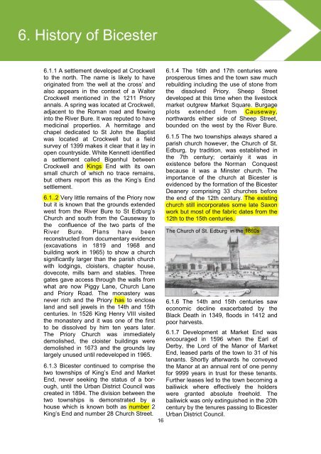
6. History of <strong>Bicester</strong>5.3 History6.1.1 A settlement developed at Crockwellto the north. The name is likely to haveoriginated from ‘the well at the cross’ andalso appears in the context of a WalterCrockwell mentioned in the 1211 Prioryannals. A spring was located at Crockwell,adjacent to the Roman road and flowinginto the River Bure. It was reputed to havemedicinal properties. A hermitage andchapel dedicated to St John the Baptistwas located at Crockwell but a fieldsurvey of 1399 makes it clear that it lay inopen countryside. White Kennett identifieda settlement called Bigenhul betweenCrockwell and Kings End with its ownsmall church of which no trace remains,but others report this as the King’s Endsettlement.6.1..2 Very little remains of the Priory nowbut it is known that the grounds extendedwest from the River Bure to St Edburg’sChurch and south from the Causeway tothe confluence of the two parts of theRiver Bure. Plans have beenreconstructed from documentary evidence(excavations in 1819 and 1968 andbuilding work in 1965) to show a churchsignificantly larger than the parish churchwith lodgings, cloisters, chapter house,dovecote, mills barn and stables. Threegates gave access through the walls fromwhat are now Piggy Lane, Church Laneand Priory Road. The monastery wasnever rich and the Priory has to encloseland and sell jewels in the 14th and 15thcenturies. In 1526 King Henry VIII visitedthe monastery and it was one of the firstto be dissolved by him ten years later.The Priory Church was immediatelydemolished, the cloister buildings weredemolished in 1673 and the grounds laylargely unused until redeveloped in 1965.6.1.3 <strong>Bicester</strong> continued to comprise thetwo townships of King’s End and MarketEnd, never seeking the status of a borough,until the Urban District Council wascreated in 1894. The division between thetwo townships is demonstrated by ahouse which is known both as number 2King’s End and number 28 Church Street.166.1.4 The 16th and 17th centuries wereprosperous times and the town saw muchrebuilding including the use of stone fromthe dissolved Priory. Sheep Streetdeveloped at this time when the livestockmarket outgrew Market Square. Burgageplots extended from Causeway,northwards either side of Sheep Street,bounded on the west by the River Bure.6.1.5 The two townships always shared aparish church however, the Church of St.Edburg, by tradition, was established inthe 7th century; certainly it was inexistence before the Norman Conquestbecause it was a Minster church. Theimportance of the church at <strong>Bicester</strong> isevidenced by the formation of the <strong>Bicester</strong>Deanery comprising 33 churches beforethe end of the 12th century. The existingchurch still incorporates some late Saxonwork but most of the fabric dates from the12th to the 15th centuries.The Church of St. Edburg in the 1880s6.1.6 The 14th and 15th centuries saweconomic decline exacerbated by theBlack Death in 1349, floods in 1412 andpoor harvests.6.1.7 Development at Market End wasencouraged in 1596 when the Earl ofDerby, the Lord of the Manor of MarketEnd, leased parts of the town to 31 of histenants. Shortly afterwards he conveyedthe Manor at an annual rent of one pennyfor 9999 years in trust for these tenants.Further leases led to the town becoming abailiwick where effectively the holderswere granted absolute freehold. Thebailiwick was only extinguished in the 20thcentury by the tenures passing to <strong>Bicester</strong>Urban District Council.