Bradford District Local Infrastructure Baseline Study - working draft ...
Bradford District Local Infrastructure Baseline Study - working draft ...
Bradford District Local Infrastructure Baseline Study - working draft ...

You also want an ePaper? Increase the reach of your titles
YUMPU automatically turns print PDFs into web optimized ePapers that Google loves.
202 Scheduled Ancient Monuments<br />
1 Historic battlefield (Adwalton Moor)<br />
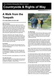
36 Public parks with 13 on the historic parks and gardens register.<br />
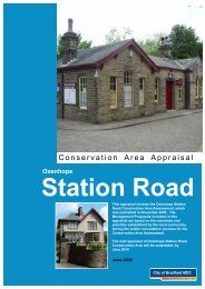
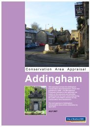
59 Conservation areas<br />
5800 Listed Buildings<br />
The <strong>District</strong> has a long history with traces of bronze age (Rombalds moor), Roman (Ilkley),<br />
Saxon, medieval, Tudor, Georgian and Victorian heritage. The <strong>District</strong> possesses a rich<br />
architectural and archaeological heritage, which is highly valued. The <strong>District</strong>’s industrial<br />
heritage of mills and associated commercial development from the late 18 th and 19 th<br />
Centuries is particularly important and reflects the area’s dominance in the textile trade. This<br />
contributes to the distinctiveness of the <strong>District</strong> and quality of place. It is also important to the<br />
economy in terms of tourism in particularly in ‘Bronte’ country.<br />
The <strong>District</strong>’s topography is equally rich and diverse, characterised by dramatic contrasts<br />
from the fringes of the South Pennines in the west to the Wharfe Valley in the north. These<br />
provide a high quality setting for the settlements in the <strong>District</strong> but also constrain their<br />
development and growth.<br />
The quality of the <strong>District</strong>’s built and natural heritage is also of major importance to the<br />
economy in attracting and retaining high quality and high value investment.<br />
The <strong>District</strong> comprises a series of escarpments of plateaux with elevations up to 455m O.D.,<br />
and a general decrease in the height of plateau in the east. The escarpments are dissected<br />
by the Rivers Aire and Wharfe and a number of smaller rivers, including <strong>Bradford</strong> Beck and<br />
the River Worth. The valley sides are commonly very steep, in contrast to the flat nature of<br />
the valley bottoms. The main urban areas and transport routes occur within the valley floor<br />
of the <strong>District</strong>.<br />
1.4 The Big Plan – our place<br />
The district stretches from the outskirts of Leeds in the east, through <strong>Bradford</strong> city and<br />
onwards through the towns of Shipley, Bingley, Keighley and Ilkley, and close to the<br />
boundaries of the Yorkshire Dales National Park. This results in a diverse mix of<br />
environments ranging from inner-city areas, through towns and villages and onto high<br />
Pennine moorland.<br />
We are proud of our built heritage, including the World Heritage site of Saltaire. The<br />
redevelopment of Lister’s Mill has been a catalyst for ambitious regeneration in<br />
Manningham. Four of the district’s parks have coveted green flag status, including the<br />
11