You also want an ePaper? Increase the reach of your titles
YUMPU automatically turns print PDFs into web optimized ePapers that Google loves.
- 95 -<br />
II .- LEVANTAMIENTO TOPOGRAFICIO DE LAS TIERRAS CORRESPOND IENTES A LA<br />
IRRjGACION<br />
ASILLO<br />
irfM 0 R lA GENERAL<br />
1.00.- GENERALIDADES.-<br />
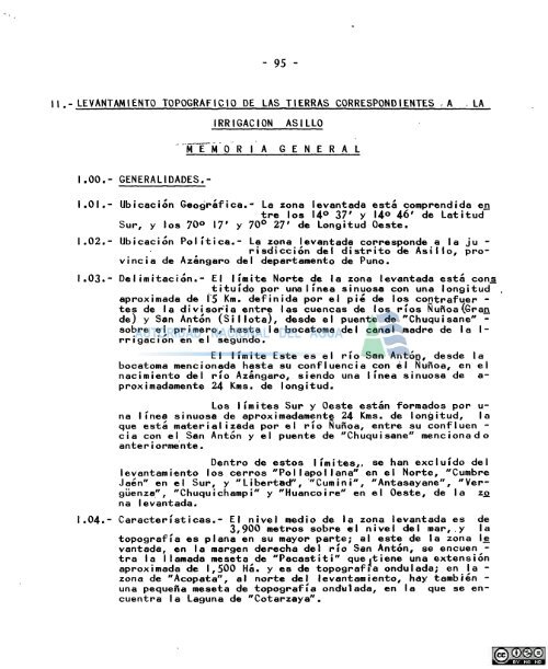
I.OI.- Ubicacion Geografica.' La zona levantada esta comprendida en<br />
tre los 14° 37' y U® 46' de Latitud<br />
Sur, y los 70° 17' y 70^ 27' de Long itud Oeste.<br />
1.02.- Ubicacion Politica.- La zona levantada corresponde a la Ju -<br />
risdiccion <strong>del</strong> distrito de Asillo, provincia<br />
de Azangaro <strong>del</strong> departamento de Puno.<br />
I.03


