Meru South District - UNDP-UNEP Poverty-Environment Initiative
Meru South District - UNDP-UNEP Poverty-Environment Initiative
Meru South District - UNDP-UNEP Poverty-Environment Initiative

Create successful ePaper yourself
Turn your PDF publications into a flip-book with our unique Google optimized e-Paper software.
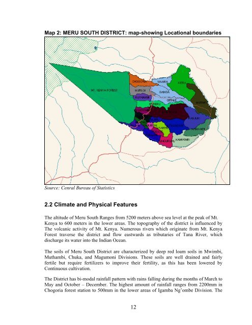
Map 2: MERU SOUTH DISTRICT: map-showing Locational boundaries<br />
Source: Cenral Bureau of Statistics<br />
2.2 Climate and Physical Features<br />
The altitude of <strong>Meru</strong> <strong>South</strong> Ranges from 5200 meters above sea level at the peak of Mt.<br />
Kenya to 600 meters in the lower areas. The topography of the district is influenced by<br />
The volcanic activity of Mt. Kenya. Numerous rivers which originate from Mt. Kenya<br />
Forest traverse the district and flow eastwards as tributaries of Tana River, which<br />
discharge its water into the Indian Ocean.<br />
The soils of <strong>Meru</strong> <strong>South</strong> <strong>District</strong> are characterized by deep red loam soils in Mwimbi,<br />
Muthambi, Chuka, and Magumoni Divisions. These soils are well drained and fairly<br />
fertile but require fertilizers to improve their fertility, as this has been lowered by<br />
Continuous cultivation.<br />
The <strong>District</strong> has bi-modal rainfall pattern with rains falling during the months of March to<br />
May and October – December. The highest amount of rainfall ranges from 2200mm in<br />
Chogoria forest station to 500mm in the lower areas of Igamba Ng’ombe Division. The<br />
12