INTRODUCTION TO ARCHAEOLOGY Nancy White - Touro Institute
INTRODUCTION TO ARCHAEOLOGY Nancy White - Touro Institute
INTRODUCTION TO ARCHAEOLOGY Nancy White - Touro Institute

You also want an ePaper? Increase the reach of your titles
YUMPU automatically turns print PDFs into web optimized ePapers that Google loves.
landowners or other residents, to find out what they might already know about the land. Have<br />
they collected artifacts, seen darker soils when plowing, or heard that some older residents once<br />
knew about older historic structures that once stood there? What will be the effects of your<br />
digging or surveying upon the local community? In our new era of mistrust of science and<br />
government, I have had to assure people that finding artifacts on their land will NOT mean that<br />
the state takes it away from them, and that I would like to see the artifacts they have collected<br />
ONLY to photograph them, if permitted, not to take<br />
them away.<br />
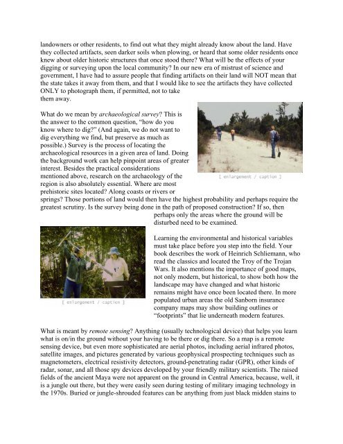
What do we mean by archaeological survey? This is<br />
the answer to the common question, “how do you<br />
know where to dig?” (And again, we do not want to<br />
dig everything we find, but preserve as much as<br />
possible.) Survey is the process of locating the<br />
archaeological resources in a given area of land. Doing<br />
the background work can help pinpoint areas of greater<br />
interest. Besides the practical considerations<br />
mentioned above, research on the archaeology of the<br />
region is also absolutely essential. Where are most<br />
prehistoric sites located? Along coasts or rivers or<br />
springs? Those portions of land would then have the highest probability and perhaps require the<br />
greatest scrutiny. Is the survey being done in the path of proposed construction? If so, then<br />
perhaps only the areas where the ground will be<br />
disturbed need to be examined.<br />
Learning the environmental and historical variables<br />
must take place before you step into the field. Your<br />
book describes the work of Heinrich Schliemann, who<br />
read the classics and located the Troy of the Trojan<br />
Wars. It also mentions the importance of good maps,<br />
not only modern, but historical, to show both how the<br />
landscape may have changed and what historic<br />
remains might have once been located there. In more<br />
populated urban areas the old Sanborn insurance<br />
company maps may show building outlines or<br />
“footprints” that lie underneath modern features.<br />
What is meant by remote sensing? Anything (usually technological device) that helps you learn<br />
what is on/in the ground without your having to be there or dig there. So a map is a remote<br />
sensing device, but even more sophisticated are aerial photos, including aerial infrared photos,<br />
satellite images, and pictures generated by various geophysical prospecting techniques such as<br />
magnetometers, electrical resistivity detectors, ground-penetrating radar (GPR), other kinds of<br />
radar, sonar, and all those spy devices developed by your friendly military scientists. The raised<br />
fields of the ancient Maya were not apparent on the ground in Central America, because, well, it<br />
is a jungle out there, but they were easily seen during testing of military imaging technology in<br />
the 1970s. Buried or jungle-shrouded features can be anything from just black midden stains to