

subsurface geology and coal resources of the pennsylvanian system ...
subsurface geology and coal resources of the pennsylvanian system ...
subsurface geology and coal resources of the pennsylvanian system ...

You also want an ePaper? Increase the reach of your titles
YUMPU automatically turns print PDFs into web optimized ePapers that Google loves.
SUBSURFACE GEOLOGY AND COAL RESOURCES<br />
OF THE PENNSYLVANIAN SYSTEM IN CERTAIN<br />
COUNTIES OF THE ILLINOIS BASIN<br />
HE PRESENT VOLUME contains <strong>the</strong><br />
T second <strong>of</strong> a series <strong>of</strong> reports that deal<br />
with <strong>the</strong> <strong>subsurface</strong> <strong>geology</strong> <strong>and</strong> <strong>coal</strong> <strong>resources</strong><br />
<strong>of</strong> <strong>the</strong> Pennsylvanian strata in <strong>the</strong><br />
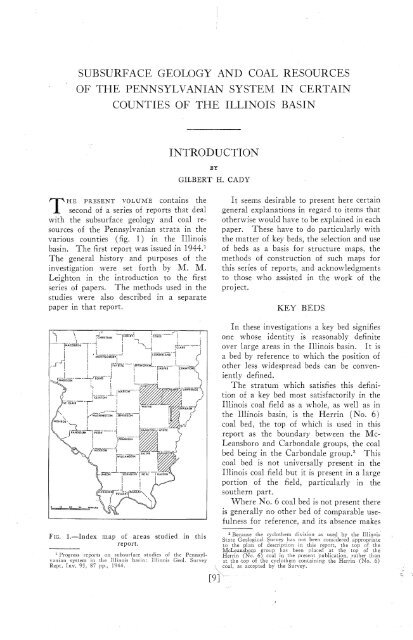
various counties (fig. 1) in <strong>the</strong> Illinois<br />
basin. The first report was issued in 1944.'<br />
The general history <strong>and</strong> purposes <strong>of</strong> <strong>the</strong><br />
investigation were set forth by M. M.<br />
Leighton in <strong>the</strong> introduction to <strong>the</strong> first<br />
series <strong>of</strong> papers. The methods used in <strong>the</strong><br />
studies were also described in a separate<br />
paper in that report.<br />
INTRODUCTION<br />
BY<br />
GILBERT H. CADY<br />
It seems desirable to present here certain<br />
general explanations in regard to items that<br />
o<strong>the</strong>rwise would have to be explained in each<br />
paper. These have to do particularly with<br />
<strong>the</strong> matter <strong>of</strong> key beds, <strong>the</strong> selection <strong>and</strong> use<br />
<strong>of</strong> beds as a basis for structure maps, <strong>the</strong><br />
methods <strong>of</strong> construction <strong>of</strong> such maps for<br />
this series <strong>of</strong> reports, <strong>and</strong> acknowledgments<br />
to those who assisted in <strong>the</strong> work <strong>of</strong> <strong>the</strong><br />
project.<br />
KEY BEDS<br />
In <strong>the</strong>se investigations a key bed signifies<br />
one whose identity is reasonably definite<br />
over large areas in <strong>the</strong> Illinois basin. It is<br />
a bed by reference to which <strong>the</strong> position <strong>of</strong><br />
o<strong>the</strong>r less widespread beds can be conveniently<br />
defined.<br />
The stratum which satisfies this definition<br />
<strong>of</strong> a key bed most satisfactorily in <strong>the</strong><br />
Illinois <strong>coal</strong> field as a whole, as well as in<br />
<strong>the</strong> Illinois basin, is <strong>the</strong> Herrin (No. 6)<br />
<strong>coal</strong> bed, <strong>the</strong> top <strong>of</strong> which is used in this<br />
report as <strong>the</strong> boundary between <strong>the</strong> Mc-<br />
Leansboro <strong>and</strong> Carbondale groups, <strong>the</strong> <strong>coal</strong><br />
bed being in <strong>the</strong> Carbondale group.2 This<br />
<strong>coal</strong> bed is not universally present in <strong>the</strong><br />
Illinois <strong>coal</strong> field but it is present in a large<br />
portion <strong>of</strong> <strong>the</strong> field, particularly in <strong>the</strong><br />
sou<strong>the</strong>rn part.<br />
Where No. 6 <strong>coal</strong> bed is not present <strong>the</strong>re<br />
is generally no o<strong>the</strong>r bed <strong>of</strong> comparable usefulness<br />
for reference, <strong>and</strong> its absence makes<br />
FIG. 1.-Index<br />
map <strong>of</strong> areas studied in this<br />
report.<br />
l Progress reports on <strong>subsurface</strong> studies <strong>of</strong> <strong>the</strong> Pennsylvanian<br />
<strong>system</strong> in <strong>the</strong> Illinois basin: Illinois Geol. Survey<br />
Rept. Inv. 93, 87 pp., 1941.<br />
Because <strong>the</strong> cyclo<strong>the</strong>m division as used by <strong>the</strong> Illi~loi~<br />
State Geological Su~\ey has not been considered appropriate<br />
to <strong>the</strong> plan <strong>of</strong> description in thia leport, <strong>the</strong> top <strong>of</strong> <strong>the</strong><br />
M~Leansboro group has been placed at <strong>the</strong> top <strong>of</strong> <strong>the</strong><br />
Herrin (No. 6) <strong>coal</strong> in <strong>the</strong> present publication, ra<strong>the</strong>r than<br />
it <strong>the</strong> top <strong>of</strong> <strong>the</strong> cyclo<strong>the</strong>m contain~ng <strong>the</strong> Herrin (No. 6)<br />
<strong>coal</strong>, as acccpted by <strong>the</strong> Survey.


