Annex I - âDescription of Workâ - Hlandata
Annex I - âDescription of Workâ - Hlandata
Annex I - âDescription of Workâ - Hlandata

Create successful ePaper yourself
Turn your PDF publications into a flip-book with our unique Google optimized e-Paper software.
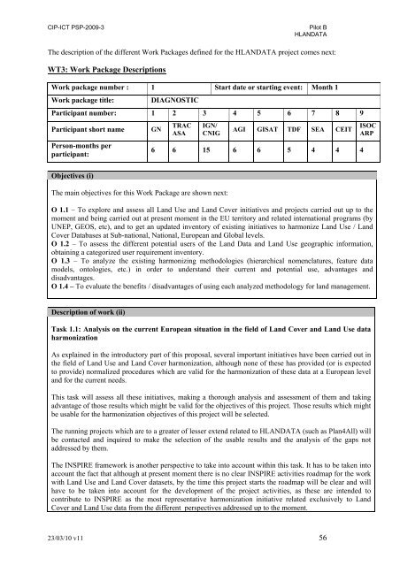
CIP-ICT PSP-2009-3Pilot BHLANDATAThe description <strong>of</strong> the different Work Packages defined for the HLANDATA project comes next:WT3: Work Package DescriptionsWork package number : 1 Start date or starting event: Month 1Work package title:DIAGNOSTICParticipant number: 1 2 3 4 5 6 7 8 9Participant short namePerson-months perparticipant:GNTRACASAIGN/CNIGAGI GISAT TDF SEA CEIT6 6 15 6 6 5 4 4 4ISOCARPObjectives (i)The main objectives for this Work Package are shown next:O 1.1 – To explore and assess all Land Use and Land Cover initiatives and projects carried out up to themoment and being carried out at present moment in the EU territory and related international programs (byUNEP, GEOS, etc), and to get an updated inventory <strong>of</strong> existing initiatives to harmonize Land Use / LandCover Databases at Sub-national, National, European and Global levels.O 1.2 – To assess the different potential users <strong>of</strong> the Land Data and Land Use geographic information,obtaining a categorized user requirement inventory.O 1.3 – To analyze the existing harmonizing methodologies (hierarchical nomenclatures, feature datamodels, ontologies, etc.) in order to understand their current and potential use, advantages anddisadvantages.O 1.4 – To evaluate the benefits / disadvantages <strong>of</strong> using each analyzed methodology for land management.Description <strong>of</strong> work (ii)Task 1.1: Analysis on the current European situation in the field <strong>of</strong> Land Cover and Land Use dataharmonizationAs explained in the introductory part <strong>of</strong> this proposal, several important initiatives have been carried out inthe field <strong>of</strong> Land Use and Land Cover harmonization, although none <strong>of</strong> these has provided (or is expectedto provide) normalized procedures which are valid for the harmonization <strong>of</strong> these data at a European leveland for the current needs.This task will assess all these initiatives, making a thorough analysis and assessment <strong>of</strong> them and takingadvantage <strong>of</strong> those results which might be valid for the objectives <strong>of</strong> this project. Those results which mightbe usable for the harmonization objectives <strong>of</strong> this project will be selected.The running projects which are to a greater <strong>of</strong> lesser extend related to HLANDATA (such as Plan4All) willbe contacted and inquired to make the selection <strong>of</strong> the usable results and the analysis <strong>of</strong> the gaps notaddressed by them.The INSPIRE framework is another perspective to take into account within this task. It has to be taken intoaccount the fact that although at present moment there is no clear INSPIRE activities roadmap for the workwith Land Use and Land Cover datasets, by the time this project starts the roadmap will be clear and willhave to be taken into account for the development <strong>of</strong> the project activities, as these are intended tocontribute to INSPIRE as the most representative harmonization initiative related exclusively to LandCover and Land Use data from the different perspectives addressed up to the moment.23/03/10 v11 56