4.12 Test Excavation 167 (T-167) - Honolulu Rail Transit Project
4.12 Test Excavation 167 (T-167) - Honolulu Rail Transit Project
4.12 Test Excavation 167 (T-167) - Honolulu Rail Transit Project
You also want an ePaper? Increase the reach of your titles
YUMPU automatically turns print PDFs into web optimized ePapers that Google loves.
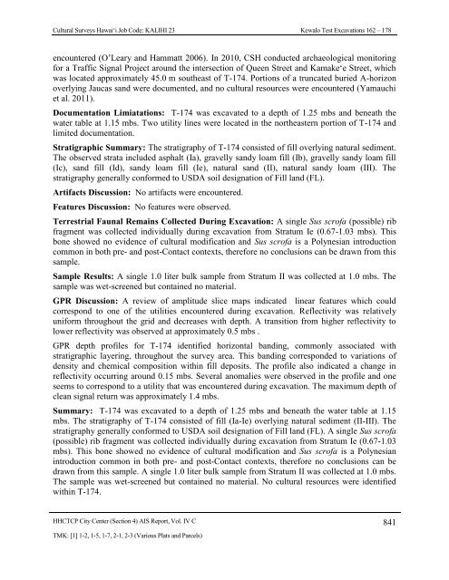
Cultural Surveys Hawai‘i Job Code: KALIHI 23 Kewalo <strong>Test</strong> <strong>Excavation</strong>s 162 – 178encountered (O’Leary and Hammatt 2006). In 2010, CSH conducted archaeological monitoringfor a Traffic Signal <strong>Project</strong> around the intersection of Queen Street and Kamake‘e Street, whichwas located approximately 45.0 m southeast of T-174. Portions of a truncated buried A-horizonoverlying Jaucas sand were documented, and no cultural resources were encountered (Yamauchiet al. 2011).Documentation Limiatations: T-174 was excavated to a depth of 1.25 mbs and beneath thewater table at 1.15 mbs. Two utility lines were located in the northeastern portion of T-174 andlimited documentation.Stratigraphic Summary: The stratigraphy of T-174 consisted of fill overlying natural sediment.The observed strata included asphalt (Ia), gravelly sandy loam fill (Ib), gravelly sandy loam fill(Ic), sand fill (Id), sandy loam fill (Ie), natural sand (II), natural sandy loam (III). Thestratigraphy generally conformed to USDA soil designation of Fill land (FL).Artifacts Discussion: No artifacts were encountered.Features Discussion: No features were observed.Terrestrial Faunal Remains Collected During <strong>Excavation</strong>: A single Sus scrofa (possible) ribfragment was collected individually during excavation from Stratum Ie (0.67-1.03 mbs). Thisbone showed no evidence of cultural modification and Sus scrofa is a Polynesian introductioncommon in both pre- and post-Contact contexts, therefore no conclusions can be drawn from thissample.Sample Results: A single 1.0 liter bulk sample from Stratum II was collected at 1.0 mbs. Thesample was wet-screened but contained no material.GPR Discussion: A review of amplitude slice maps indicated linear features which couldcorrespond to one of the utilities encountered during excavation. Reflectivity was relativelyuniform throughout the grid and decreases with depth. A transition from higher reflectivity tolower reflectivity was observed at approximately 0.5 mbs .GPR depth profiles for T-174 identified horizontal banding, commonly associated withstratigraphic layering, throughout the survey area. This banding corresponded to variations ofdensity and chemical composition within fill deposits. The profile also indicated a change inreflectivity occurring around 0.15 mbs. Several anomalies were observed in the profile and oneseems to correspond to a utility that was encountered during excavation. The maximum depth ofclean signal return was approximately 1.4 mbs.Summary: T-174 was excavated to a depth of 1.25 mbs and beneath the water table at 1.15mbs. The stratigraphy of T-174 consisted of fill (Ia-Ie) overlying natural sediment (II-III). Thestratigraphy generally conformed to USDA soil designation of Fill land (FL). A single Sus scrofa(possible) rib fragment was collected individually during excavation from Stratum Ie (0.67-1.03mbs). This bone showed no evidence of cultural modification and Sus scrofa is a Polynesianintroduction common in both pre- and post-Contact contexts, therefore no conclusions can bedrawn from this sample. A single 1.0 liter bulk sample from Stratum II was collected at 1.0 mbs.The sample was wet-screened but contained no material. No cultural resources were identifiedwithin T-174.HHCTCP City Center (Section 4) AIS Report, Vol. IV C 841TMK: [1] 1-2, 1-5, 1-7, 2-1, 2-3 (Various Plats and Parcels)


