environmental assessment us border patrol, tucson sector
environmental assessment us border patrol, tucson sector
environmental assessment us border patrol, tucson sector
You also want an ePaper? Increase the reach of your titles
YUMPU automatically turns print PDFs into web optimized ePapers that Google loves.
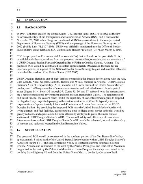
1-11234567891011121314151617181920212223242526272829303132333435363738394041421.0 INTRODUCTION1.1 BACKGROUNDIn 1924, Congress created the United States (U.S.) Border Patrol (USBP) to serve as the lawenforcement entity of the Immigration and Naturalization Service (INS), and it did so untilNovember 25, 2002 when Congress transferred all INS responsibilities to the newly createdDepartment of Homeland Security (DHS) with the passage of the Homeland Security Act of2002 (Public Law [PL] 107-296). USBP was officially transferred into the Office of BorderPatrol (OBP), under DHS and U.S. C<strong>us</strong>toms and Border Protection (CBP), on March 1, 2003.CBP has prepared an Environmental Assessment (EA) that will address the potential effects,beneficial and adverse, resulting from the proposed construction, operation, and maintenance ofa USBP Douglas Station Forward Operating Base (FOB) in Cochise County, Arizona. Theproposed FOB would be constructed to s<strong>us</strong>tain approximately 30 agents in the field for anindefinite period, in support of the National Border Patrol Strategy to gain and maintain effectivecontrol of the <strong>border</strong>s of the United States (CBP 2005).USBP Douglas Station is one of eight stations comprising the Tucson Sector, along with the Ajo,Casa Grande, Naco, Nogales, Sonoita, Tucson, and Wilcox Stations in Arizona. USBP DouglasStation’s Area of Responsibility (AOR) includes 40.5 linear miles of the United States/Mexico<strong>border</strong>, over 1,450 square miles of mountaino<strong>us</strong> terrain, and is divided into six <strong>border</strong> <strong>patrol</strong>zones (Figure 1-1): Zones 32 through 37. Zones 35, 36, and 37, referred to as the eastern zones,are a remote operational environment and span the San Bernardino Valley. The remoteness of,and travel time to, the eastern zones inhibit the capability of law enforcement agents to respondto illegal activity. Agents deploying to the easternmost areas of Zone 37 typically have aresponse time of approximately 1 hour and 45 minutes to 2 hours from m<strong>us</strong>ter at the USBPDouglas Station. By providing the proposed FOB near the United States/Mexico <strong>border</strong> withliving quarters and fuel facilities, agent response time to illegal cross-<strong>border</strong> activities would begreatly reduced, and agents could be more efficiently deployed to <strong>patrol</strong> the more remotesections of USBP Douglas Station’s AOR. The overall safety and efficiency of current andfuture operations within USBP Douglas Station’s AOR would be enhanced, as well as the safetyof ranches and residents located in the San Bernardino Valley.1.2 STUDY LOCATIONThe proposed FOB would be constructed in the southern portion of the San Bernardino Valleyapproximately 3 miles north of the United States/Mexico <strong>border</strong> within USBP Douglas Station’sAOR (see Figure 1-1). The San Bernardino Valley is located in extreme southeast CochiseCounty, Arizona and is bounded to the west by the Perilla, Pedragosa, and Chiricahua Mountainranges and to the east by the Peloncillo Mountains. From Douglas, the valley is accessed to thenorth by State Highway 80 and from the United States/Mexico <strong>border</strong> by Geronimo Trail.Douglas FOB EADraftAug<strong>us</strong>t 2011


