1LwjabT
1LwjabT
1LwjabT
Create successful ePaper yourself
Turn your PDF publications into a flip-book with our unique Google optimized e-Paper software.
6<br />
1<br />
2<br />
3<br />
4<br />
5<br />
6<br />
7<br />
8<br />
9<br />
10<br />
11<br />
12<br />
13<br />
14<br />
15<br />
16<br />
17<br />
18<br />
19<br />
20<br />
21<br />
22<br />
23<br />
24<br />
25<br />
26<br />
27<br />
28<br />
29<br />
30<br />
31<br />
32<br />
33<br />
34<br />
35<br />
36<br />
37<br />
38<br />
39<br />
40<br />
41<br />
42<br />
43<br />
44<br />
45<br />
46<br />
47<br />
48<br />
49<br />
50<br />
51<br />
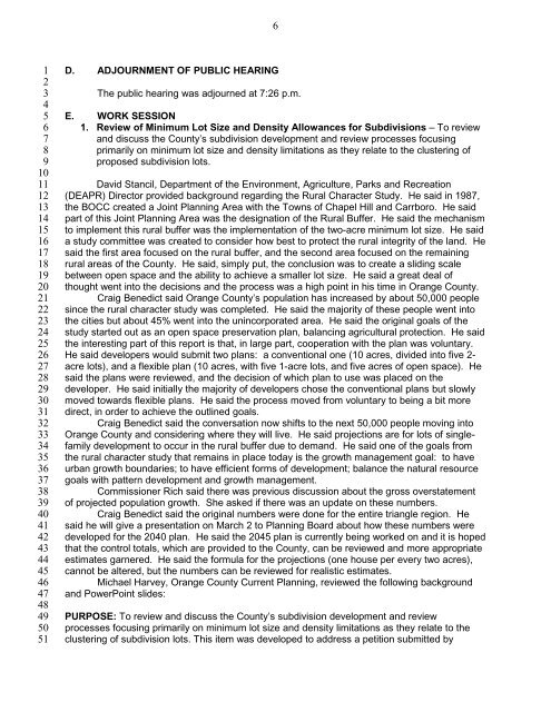
D. ADJOURNMENT OF PUBLIC HEARING<br />
The public hearing was adjourned at 7:26 p.m.<br />
E. WORK SESSION<br />
1. Review of Minimum Lot Size and Density Allowances for Subdivisions – To review<br />
and discuss the County’s subdivision development and review processes focusing<br />
primarily on minimum lot size and density limitations as they relate to the clustering of<br />
proposed subdivision lots.<br />
David Stancil, Department of the Environment, Agriculture, Parks and Recreation<br />
(DEAPR) Director provided background regarding the Rural Character Study. He said in 1987,<br />
the BOCC created a Joint Planning Area with the Towns of Chapel Hill and Carrboro. He said<br />
part of this Joint Planning Area was the designation of the Rural Buffer. He said the mechanism<br />
to implement this rural buffer was the implementation of the two-acre minimum lot size. He said<br />
a study committee was created to consider how best to protect the rural integrity of the land. He<br />
said the first area focused on the rural buffer, and the second area focused on the remaining<br />
rural areas of the County. He said, simply put, the conclusion was to create a sliding scale<br />
between open space and the ability to achieve a smaller lot size. He said a great deal of<br />
thought went into the decisions and the process was a high point in his time in Orange County.<br />
Craig Benedict said Orange County’s population has increased by about 50,000 people<br />
since the rural character study was completed. He said the majority of these people went into<br />
the cities but about 45% went into the unincorporated area. He said the original goals of the<br />
study started out as an open space preservation plan, balancing agricultural protection. He said<br />
the interesting part of this report is that, in large part, cooperation with the plan was voluntary.<br />
He said developers would submit two plans: a conventional one (10 acres, divided into five 2-<br />
acre lots), and a flexible plan (10 acres, with five 1-acre lots, and five acres of open space). He<br />
said the plans were reviewed, and the decision of which plan to use was placed on the<br />
developer. He said initially the majority of developers chose the conventional plans but slowly<br />
moved towards flexible plans. He said the process moved from voluntary to being a bit more<br />
direct, in order to achieve the outlined goals.<br />
Craig Benedict said the conversation now shifts to the next 50,000 people moving into<br />
Orange County and considering where they will live. He said projections are for lots of singlefamily<br />
development to occur in the rural buffer due to demand. He said one of the goals from<br />
the rural character study that remains in place today is the growth management goal: to have<br />
urban growth boundaries; to have efficient forms of development; balance the natural resource<br />
goals with pattern development and growth management.<br />
Commissioner Rich said there was previous discussion about the gross overstatement<br />
of projected population growth. She asked if there was an update on these numbers.<br />
Craig Benedict said the original numbers were done for the entire triangle region. He<br />
said he will give a presentation on March 2 to Planning Board about how these numbers were<br />
developed for the 2040 plan. He said the 2045 plan is currently being worked on and it is hoped<br />
that the control totals, which are provided to the County, can be reviewed and more appropriate<br />
estimates garnered. He said the formula for the projections (one house per every two acres),<br />
cannot be altered, but the numbers can be reviewed for realistic estimates.<br />
Michael Harvey, Orange County Current Planning, reviewed the following background<br />
and PowerPoint slides:<br />
PURPOSE: To review and discuss the County’s subdivision development and review<br />
processes focusing primarily on minimum lot size and density limitations as they relate to the<br />
clustering of subdivision lots. This item was developed to address a petition submitted by


