INTRODUCED MARINE SPECIES IN PAGO ... - Bishop Museum
INTRODUCED MARINE SPECIES IN PAGO ... - Bishop Museum
INTRODUCED MARINE SPECIES IN PAGO ... - Bishop Museum
You also want an ePaper? Increase the reach of your titles
YUMPU automatically turns print PDFs into web optimized ePapers that Google loves.
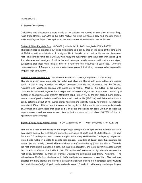
IV. RESULTS<br />
A. Station Descriptions<br />
Collections and observations were made at 10 stations, comprised of two sites in inner Pago<br />
Pago Pago Harbor, four sites in the outer harbor, two sites in Fagatele Bay and one site each in<br />
Vatia and Fagasa Bays. Descriptions of the environment at each station are as follows:<br />
Station 1. West Fagatele Bay. 14-Oct-02 (Latitude 14° 21.96'S, Longitude 170° 45.85'W).<br />
The bottom slopes at a steep 30° slope from shore to a sandy area at the base of the coral zone<br />
at 20-25 m, with a substratum of mostly cobble to boulder size coral rubble on hard limestone<br />
reef. The coral cover is about 20-50% with Acropora hyacinthus coral abundant with tables up to<br />
2 m diameter and vestiges of old tables and outcrops heavily covered with calcareous algae,<br />
suggesting that these were alive at time of a hurricane that occurred 12 years ago. Very few<br />
branching forms of Acropora or other species were present, indicating this area to be exposed to<br />
frequent high turbulence.<br />
Station 2. East Fagatele Bay. 14-Oct-02 (Latitude 14° 21.95'S, Longitude 170° 45.77'W).<br />
The site is a rich coral area with high relief and channels littered with coral rubble and coarse<br />
sand. Coral is very abundant on ridges between channels and dominated by Pocillopora,<br />
Acropora and Montipora species with cover up to >60%. Most of the rubble in the narrow<br />
channels is cemented together by sponges and calcareous algae, and much was covered by a<br />
surface of encrusting corals (mainly Montipora spp.). Below 15 m, the reef sloped more steeply<br />
into a zone of predominately small/medium sized coral rubble (18-22 m) and flattened out into a<br />
sandy bottom at about 24 m. Water clarity was high and visibility was 20 m or more. A shallower<br />
area about 150 m offshore near the center of the bay in ca. 5-6 m depth has monospecific stands<br />
of Merulina and Echinopora that begin at 5-7 m depth and extend for about 20 m in at least two<br />
large channels and an area where disease lesions occurred on about 10-20% of the A.<br />
hyacinthus tables counted.<br />
Station 3 Pago Pago Harbor, Utulei. 13-Oct-02 (Latitude 14° 17.02'S, Longitude 170° 40.67'W)<br />
The site is a reef in the vicinity of the Pago Pago sewage outfall pipeline that extends ca. 75 m<br />
from shore across the reef flat and down the reef slope at south end of Utulei Beach. The reef<br />
flat is ca. 0.5 m deep and with coarse sand pits 3-4 m deep stabilized by Caulerpa sp. algae and<br />
littered with rubble in pebble to cobble size ranges. Boulders of basalt rock that stabilize the<br />
sewer pipe are heavily covered with a small barnacle (Chthamalus sp.) near the shore. Towards<br />
the reef crest rubble increased in size, but was less abundant, and coral cover increased across<br />
this zone from


