D-BAUG - Departement Bau, Umwelt und Geomatik - ETH Zürich
D-BAUG - Departement Bau, Umwelt und Geomatik - ETH Zürich
D-BAUG - Departement Bau, Umwelt und Geomatik - ETH Zürich

You also want an ePaper? Increase the reach of your titles
YUMPU automatically turns print PDFs into web optimized ePapers that Google loves.
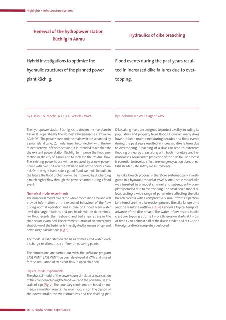
Highlights ▪ Infrastructure Systems<br />
Renewal of the hydropower station<br />
Rüchlig in Aarau<br />
Hybrid investigations to optimize the<br />
hydraulic structures of the planned power<br />
plant Rüchlig.<br />
The hydropower station Rüchlig is situated on the river Aare in<br />
Aarau. It is operated by the Nordostschweizerische Kraftwerke<br />
AG (NOK).The powerhouse and the main weir are separated by<br />
a small island called Zurlindeninsel. In connection with the imminent<br />
renewal of the concession, it is intended to rehabilitate<br />
the existent power station Rüchlig, to improve the flood protection<br />
in the city of Aarau, and to increase the residual flow.<br />
The existing powerhouse will be replaced by a new powerhouse<br />
with two units on the left hand side of the power channel.<br />
On the right hand side a gated flood weir will be built. In<br />
the future the flood protection will be improved by discharging<br />
a much higher flow through the power channel during a flood<br />
event.<br />
Numerical model experiments<br />
The numerical model covers the whole concession area and will<br />
provide information on the expected behaviour of the flow<br />
during normal operation and in case of a flood. New water<br />
level-discharge-relations and net heads will be determined.<br />
For flood events the freeboard and bed shear stress in the<br />
channel are examined.The extreme situation of an emergency<br />
shut-down of the turbines is investigated by means of up- and<br />
downsurge calculations (Fig. 1).<br />
The model is calibrated on the basis of measured water leveldischarge-relations<br />
at six different measuring points.<br />
The simulations are carried out with the software program<br />
BASEMENT. BASEMENT has been developed at VAW and is used<br />
for the simulation of transient flow in open channels.<br />
Physical model experiments<br />
The physical model of the powerhouse simulates a local section<br />
of the channel including the flood weir and the powerhouse at a<br />
scale of 1:30 (Fig. 2). The bo<strong>und</strong>ary conditions are based on numerical<br />
simulation results. The main focus is on the design of<br />
the power intake, the weir structures and the dividing pier.<br />
56 ▪ D-<strong>BAUG</strong> Annual Report 2009<br />
Hydraulics of dike breaching<br />
Flood events during the past years resul-<br />
ted in increased dike failures due to over-<br />
topping.<br />
by E. Rühli, N. Mache, A. Lais, D. Vetsch / VAW by L. Schmocker,W.H. Hager / VAW<br />
Dikes along rivers are designed to protect a valley including its<br />
population and property from floods. However, many dikes<br />
have not been maintained during decades and flood events<br />
during the past years resulted in increased dike failures due<br />
to overtopping. Breaching of a dike can lead to extensive<br />
flooding of nearby areas along with both monetary and human<br />
losses.An accurate prediction of the dike failure process<br />
is essential to develop effective emergency action plans or establish<br />
adequate safety measurements.<br />
The dike breach process is therefore systematically investigated<br />
in a hydraulic model at VAW. A small scale model dike<br />
was inserted in a model channel and subsequently completely<br />
eroded due to overtopping.The small scale model allows<br />
testing a wide range of parameters affecting the dike<br />
breach process with a comparatively small effort. Of particular<br />
interest are the dike erosion process, the dike failure time<br />
and the resulting outflow. Figure 3 shows a typical temporal<br />
advance of the dike breach. The water inflow results in dike<br />
crest overtopping at time t = 0 s. Its erosion starts at t = 2 s.<br />
At time t = 10 s almost half of the dike is eroded and at t = 100 s<br />
the original dike is completely destroyed.