Water Cycle Study - East Devon District Council
Water Cycle Study - East Devon District Council
Water Cycle Study - East Devon District Council

Create successful ePaper yourself
Turn your PDF publications into a flip-book with our unique Google optimized e-Paper software.
Exeter and <strong>East</strong> <strong>Devon</strong> <strong>Water</strong> <strong>Cycle</strong> <strong>Study</strong><br />
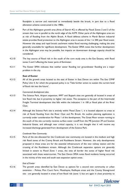
floodplain is narrow and restricted to immediately beside the brook, in part due to a flood<br />
alleviation scheme constructed in the 1980s.<br />
4.3.9 Part of the Alphington growth area (Area of Search 4C) is affected by Flood Zones 2 and 3 of the<br />
stream that runs in parallel to the north edge of the A379. Other parts of the Alphington area are<br />
at risk of flooding from the Alphin Brook. A flood defence scheme in Marsh Barton industrial<br />
estate provides flood protection to the Alphington area in excess of the 1 in 200 year flood event.<br />
However the steep and rapid brook catchment makes flood warning challenging, making the area<br />
generally unsuitable for significant development. The Exeter SFRA notes that further development<br />
in the Alphington area may be possible, but impacts on downstream drainage capacity should be<br />
considered.<br />
4.3.10 The key source of flood risk in the south of the core study area is the Exe Estuary, with flood<br />
zones 2 and 3 affecting the lower parts of Exminster.<br />
4.3.11 The Exeter SFRA indicates that neither sewer flooding nor groundwater flooding are a major<br />
problem in the city.<br />
<strong>East</strong> of Exeter<br />
4.3.12 All of the growth areas located to the east of Exeter in <strong>East</strong> <strong>Devon</strong> are within The Exe CFMP<br />
Policy Unit 4, for which the proposed policy is to 'Take further action to sustain the current level<br />
of flood risk into the future'.<br />
Commercial development sites<br />
4.3.13 The Science Park, Airport expansion, IMFT and Skypark sites are generally all located in areas of<br />
low flood risk, but in proximity to higher risk zones. The exception is the part of the Intermodal<br />
Freight Terminal development that falls within the indicative 1 in 100 yr flood plain of the River<br />
Clyst.<br />
4.3.14 Although the Science Park site is entirely within Flood Zone 1, it is located adjacent to areas at<br />
risk of fluvial flooding from the River Clyst and Pin Brook. An outline planning application is<br />
currently under consideration for Phase 1 of the development. The Great Moor stream running to<br />
the south of the site currently receives surface water runoff from the M5 Junction 29 and Sowton<br />
Industrial Estate, and although near critical capacity, it is not thought that it will receive any<br />
increased discharge generated from development of the Science Park.<br />
Cranbrook New Community<br />
4.3.15 Parts of the site allocated for the Cranbrook new community are located in the medium and high<br />
risk flood zones of the Cranny Brook and Rockbeare Stream. However, the only developments<br />
proposed in these areas are for the essential infrastructure of the new railway station and the<br />
crossing of the Rockbeare stream. Although the Cranbrook expansion options are generally<br />
limited in extent to Flood Zone 1 areas, the sites all border the zones of higher flood risk<br />
associated with these watercourses. The <strong>East</strong> <strong>Devon</strong> SFRA notes flood incidents having occurred<br />
in the vicinity of the west and south east expansion option areas.<br />
<strong>East</strong> of Exeter<br />
4.3.16 The growth areas identified by <strong>East</strong> <strong>Devon</strong> as options for a second new community or urban<br />
extension – Pinhoe, Pinn Court Farm, Mosshayne, Redhayes areas and the County Showground<br />
site - are generally located in areas of low flood risk (zone 1) but are again in close proximity to<br />
27 Ref EWCS April 2010