NASA Scientific and Technical Aerospace Reports - The University ...
NASA Scientific and Technical Aerospace Reports - The University ...
NASA Scientific and Technical Aerospace Reports - The University ...
Create successful ePaper yourself
Turn your PDF publications into a flip-book with our unique Google optimized e-Paper software.
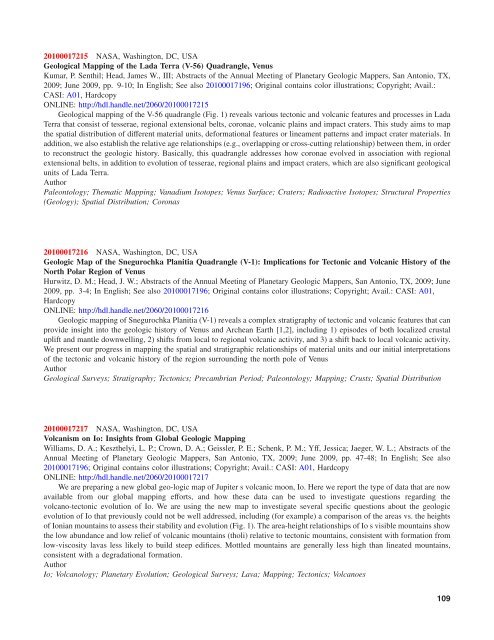
20100017215 <strong>NASA</strong>, Washington, DC, USA<br />
Geological Mapping of the Lada Terra (V-56) Quadrangle, Venus<br />
Kumar, P. Senthil; Head, James W., III; Abstracts of the Annual Meeting of Planetary Geologic Mappers, San Antonio, TX,<br />
2009; June 2009, pp. 9-10; In English; See also 20100017196; Original contains color illustrations; Copyright; Avail.:<br />
CASI: A01, Hardcopy<br />
ONLINE: http://hdl.h<strong>and</strong>le.net/2060/20100017215<br />
Geological mapping of the V-56 quadrangle (Fig. 1) reveals various tectonic <strong>and</strong> volcanic features <strong>and</strong> processes in Lada<br />
Terra that consist of tesserae, regional extensional belts, coronae, volcanic plains <strong>and</strong> impact craters. This study aims to map<br />
the spatial distribution of different material units, deformational features or lineament patterns <strong>and</strong> impact crater materials. In<br />
addition, we also establish the relative age relationships (e.g., overlapping or cross-cutting relationship) between them, in order<br />
to reconstruct the geologic history. Basically, this quadrangle addresses how coronae evolved in association with regional<br />
extensional belts, in addition to evolution of tesserae, regional plains <strong>and</strong> impact craters, which are also significant geological<br />
units of Lada Terra.<br />
Author<br />
Paleontology; <strong>The</strong>matic Mapping; Vanadium Isotopes; Venus Surface; Craters; Radioactive Isotopes; Structural Properties<br />
(Geology); Spatial Distribution; Coronas<br />
20100017216 <strong>NASA</strong>, Washington, DC, USA<br />
Geologic Map of the Snegurochka Planitia Quadrangle (V-1): Implications for Tectonic <strong>and</strong> Volcanic History of the<br />
North Polar Region of Venus<br />
Hurwitz, D. M.; Head, J. W.; Abstracts of the Annual Meeting of Planetary Geologic Mappers, San Antonio, TX, 2009; June<br />
2009, pp. 3-4; In English; See also 20100017196; Original contains color illustrations; Copyright; Avail.: CASI: A01,<br />
Hardcopy<br />
ONLINE: http://hdl.h<strong>and</strong>le.net/2060/20100017216<br />
Geologic mapping of Snegurochka Planitia (V-1) reveals a complex stratigraphy of tectonic <strong>and</strong> volcanic features that can<br />
provide insight into the geologic history of Venus <strong>and</strong> Archean Earth [1,2], including 1) episodes of both localized crustal<br />
uplift <strong>and</strong> mantle downwelling, 2) shifts from local to regional volcanic activity, <strong>and</strong> 3) a shift back to local volcanic activity.<br />
We present our progress in mapping the spatial <strong>and</strong> stratigraphic relationships of material units <strong>and</strong> our initial interpretations<br />
of the tectonic <strong>and</strong> volcanic history of the region surrounding the north pole of Venus<br />
Author<br />
Geological Surveys; Stratigraphy; Tectonics; Precambrian Period; Paleontology; Mapping; Crusts; Spatial Distribution<br />
20100017217 <strong>NASA</strong>, Washington, DC, USA<br />
Volcanism on Io: Insights from Global Geologic Mapping<br />
Williams, D. A.; Keszthelyi, L. P.; Crown, D. A.; Geissler, P. E.; Schenk, P. M.; Yff, Jessica; Jaeger, W. L.; Abstracts of the<br />
Annual Meeting of Planetary Geologic Mappers, San Antonio, TX, 2009; June 2009, pp. 47-48; In English; See also<br />
20100017196; Original contains color illustrations; Copyright; Avail.: CASI: A01, Hardcopy<br />
ONLINE: http://hdl.h<strong>and</strong>le.net/2060/20100017217<br />
We are preparing a new global geo-logic map of Jupiter s volcanic moon, Io. Here we report the type of data that are now<br />
available from our global mapping efforts, <strong>and</strong> how these data can be used to investigate questions regarding the<br />
volcano-tectonic evolution of Io. We are using the new map to investigate several specific questions about the geologic<br />
evolution of Io that previously could not be well addressed, including (for example) a comparison of the areas vs. the heights<br />
of Ionian mountains to assess their stability <strong>and</strong> evolution (Fig. 1). <strong>The</strong> area-height relationships of Io s visible mountains show<br />
the low abundance <strong>and</strong> low relief of volcanic mountains (tholi) relative to tectonic mountains, consistent with formation from<br />
low-viscosity lavas less likely to build steep edifices. Mottled mountains are generally less high than lineated mountains,<br />
consistent with a degradational formation.<br />
Author<br />
Io; Volcanology; Planetary Evolution; Geological Surveys; Lava; Mapping; Tectonics; Volcanoes<br />
109


