You also want an ePaper? Increase the reach of your titles
YUMPU automatically turns print PDFs into web optimized ePapers that Google loves.
GUEST PAPER<br />
cost and efficiency gains. Such<br />
results are indicative of the<br />
change in perception regarding<br />
drones, building trust in the<br />
safety, reliability and performance<br />
of the technology on a<br />
commercial scale.<br />
Looking ahead to 2018<br />
In 2018, we expect to see a<br />
number of existing trends<br />
evolve further, as businesses<br />
demand more from their solutions:<br />
Decision-making tools<br />
The application of UAVs has<br />
changed, both in relation to<br />
the industries that are using<br />
the technology and the way<br />
in which it works. Businesses<br />
don’t simply want a drone to<br />
fly; if they are going to invest, they<br />
want to know that they’re buying<br />
a robust tool that will provide<br />
highly accurate data and inform<br />
decisions at an operational and<br />
board level. To do so, it’s crucial<br />
that drone technology complements<br />
other software packages,<br />
such as data management and<br />
image processing programmes.<br />
At senseFly, we’ve formed strategic<br />
partnerships with other organisations<br />
to simplify and enhance our<br />
data-based approach. For example,<br />
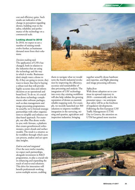
our eBee Plus drone works<br />
in sync with Airware, a platform<br />
that creates georeferenced orthomosaics,<br />
point clouds and surface<br />
models. The result is a smarter, safer<br />
workflow through which users<br />
can process, analyse and act upon<br />
data insights.<br />
End-to-end and integrated<br />
Over the next twelve months,<br />
we expect such partnerships,<br />
alongside investment in R&D<br />
programmes, to play a crucial role<br />
in enhancing and expanding the<br />
reach of end-to-end solutions.<br />
This drive for innovation will<br />
benefit professionals working<br />
across multiple sectors, enabling<br />
them to navigate what we would<br />
term the fourth industrial revolution<br />
by improving the efficiency,<br />
accuracy and sustainability of<br />
data processing and analysis. The<br />
integration of UAV technology<br />
into every day, existing workflows<br />
will also help validate the growing<br />
reputation of drones as essential,<br />
reliable mapping tools. For example,<br />
we recently launched our 360<br />
solutions to improve workflow<br />
integration in the surveying, mining<br />
and quarries, agriculture and<br />
inspection industries, bringing<br />
together senseFly drone hardware<br />
and expertise, and flight planning<br />
and image processing softwares.<br />
Safety focus<br />
With drone adoption set to continue<br />
its upward trajectory in<br />
2018—commercially and in the<br />
prosumer space—we anticipate<br />
that safety will be at the forefront<br />
of regulatory developments.<br />
Following the first European UAV<br />
Traffic Management (UTM)<br />
Day in Geneva, the attention on<br />
UTM has gained more traction<br />
<strong>GEOmedia</strong> n°4-<strong>2017</strong> 33


