

GEOmedia_2 2017

You also want an ePaper? Increase the reach of your titles
YUMPU automatically turns print PDFs into web optimized ePapers that Google loves.
REPORT<br />
Inoltre, l’utilizzo del<br />
GIS per futuri casistudio,<br />
permetterà:<br />
● lo scambio e la condivisione<br />
completa o<br />
parziale degli schemi<br />
dei geodatabase tra gli<br />
utenti di ArcGIS<br />
● lo scambio di dataset<br />
senza perdita di dati<br />
● lo scambio di elementi<br />
geografici semplici,<br />
simile alla scambio di<br />
shapefile<br />
● lo scambio dei soli<br />
record aggiornati<br />
(delta) usando i flussi<br />
XML per trasferire<br />
gli aggiornamenti<br />
e le modifiche tra i<br />
geodatabase e le altre<br />
applicazioni.<br />
I dati contenuti nel<br />
database devono essere<br />
trasferiti all’interno del<br />
geodatabase in modo da<br />
poter essere analizzati<br />
con strumenti GIS per<br />
lo sviluppo di scenari e<br />
per il calcolo del rischio<br />
a essi collegato.<br />
BIBLIOGRAFIA<br />
Altomare C., Artese S., Zinno R., 2013, A GIS for the protection of cultural heritage – Atti IV Conference “Diagnosis, Conservation and<br />
Valorization of Cultural Heritage”, 12-13 Dicembre 2013 Napoli – pp. 221-221 ISBN 978-88-908168-0-2<br />
Bracco V., 1965-96, “Il luogo di Forum Annii”, in «Archivio storico per la Calabria e la Lucania», XXXIV<br />
Calomino F., 2012, “Il ponte romano sul fiume Savuto”, in «Atti del quarto convegno nazionale di Storia dell’ingegneria», tomo primo, a<br />
cura di S. D’Agostino, Napoli<br />
Cantarelli F., 1980, “La via Regio-Capuam: problemi storici e topografici”, in «L’Universo»<br />
Chías, P., Abad, T., Echeverría, E., Da Casa, F., & Celis, F., 2006, “A GIS in Cultural Heritage based upon multiformat databases and<br />
hypermedial personalized queries”. ISPRS Archives, 36(5), 222-226.<br />
De Sensi Sestito G., 1999, “Tra l’Amato e il Savuto: storia, culture, territori. Studi sul lametino antico e tardo antico”, Soveria Mannelli<br />
ESRI (2004). XML Schema ofthe Geodatabase. ESRI, ArcGIS SDK Technical Documents, http://edndoc.esri.com/arcobjects/9.1/<br />
ArcGISDevHelp/TechnicalDocuments/Geodatabase/XML_Schema/X MLSchema.htm<br />
ESRI (2006a). What is ArcGIS 9.2. ESRI Press, Redlands, 1 26 pp. ESRI (2006b). Elements ofthe Geodatabase. ESRI, http://www.esri.<br />
com/software/arcgis/geodatabase/about/elements.htm<br />
Galli E., 1906, “Intorno ad un ponte della via Popilia sul fiume Savuto”, in «Archivio storico per la Sicilia orientale», III<br />
Galliazzo V., 1995, “I ponti romani. Catalogo generale”, Treviso<br />
Givigliano P., 1994, “Percorsi e strade”, in «Storia della Calabria antica», vol. 2, a cura di S. Settis, Roma<br />
Rubino g. E. – Teti M. A., 1997, “Cosenza”, Roma<br />
Saygi, G., Agugiaro, G., Hamamcıoğlu-Turan, M., Remondino, F., 2013, “Evaluation of GIS and BIM roles for the information<br />
management of historical buildings”, XXIV International CIPA Symposium.<br />
Taliano Grasso A., 1995, “Considerazioni topografiche sulla via Annia tra Muranum e Valentia”, in Opere di assetto territoriale ed urbano»,<br />
a cura di L. Quilici e S. Quilici Gigli, Roma<br />
Tucci S., 1991, “Storia del ponte romano sul fiume Savuto”, Soveria Mannelli<br />
Tucci S., 1998, “Storia, leggenda e realtà lungo il corso del fiume Savuto”, Cosenza<br />
PAROLE CHIAVE<br />
GIS; ArcGIS; Geodatabase; conservazione, valorizzazione;<br />
ABSTRACT<br />
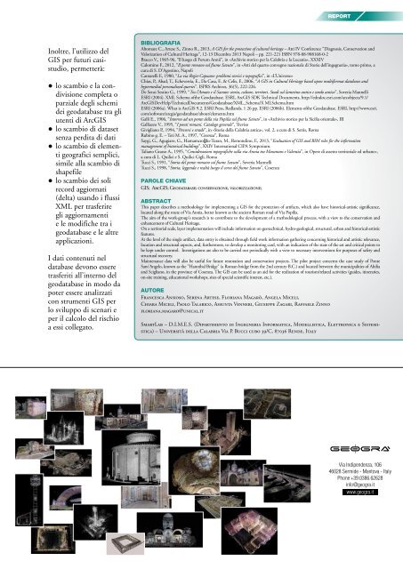
This paper describes a methodology for implementing a GIS for the protection of artifacts, which also have historical-artistic significance,<br />
located along the route of Via Annia, better known as the ancient Roman road of Via Popilia.<br />
The aim of the work-group's research is to contribute to the development of a methodological process, with a view to the conservation and<br />
enhancement of Cultural Heritage.<br />
On a territorial scale, layer implementation will include information on geotechnical, hydro-geological, structural, urban and historical-artistic<br />
features.<br />
At the level of the single artifact, data entry is obtained through field work information gathering concerning historical and artistic relevance,<br />
location and structural aspects, and, furthermore, to develop a monitoring card, with an indication of the state of the art and critical points to<br />
be kept under control. Investigations are also to be carried out periodically with a view to necessary interventions for purposes of safety and<br />
structural recovery.<br />
Maintenance data will also be useful for future restoration and conservation projects. The pilot project concerns the case study of Ponte<br />
Sant'Angelo, known as the "Hannibal Bridge" (a Roman bridge from the 2nd century B.C.) and located between the municipalities of Altilia<br />
and Scigliano, in the province of Cosenza. The GIS can be used as an aid for the realization of tourism/related activities (guides, itineraries,<br />
on-site training, educational workshops, sites of special scientific interest, etc.).<br />
AUTORE<br />
Francesca Ansioso, Serena Artese, Floriana Magarò, Angela Miceli,<br />
Chiara Miceli, Paolo Talarico, Assunta Venneri, Giuseppe Zagari, Raffaele Zinno<br />
floriana.magaro@unical.it<br />
SmartLab – D.I.M.E.S. (Dipartimento di Ingegneria Informatica, Modellistica, Elettronica e Sistemistica)<br />
– Università della Calabria Via P. Bucci cubo 39/C, 87036 Rende, Italy<br />
Via Indipendenza, 106<br />
46028 Sermide - Mantova - Italy<br />
Phone +39.0386.62628<br />
info@geogra.it<br />
www.geogra.it<br />
<strong>GEOmedia</strong> n°2-<strong>2017</strong> 21


