

GEOmedia_1_2021

Create successful ePaper yourself
Turn your PDF publications into a flip-book with our unique Google optimized e-Paper software.
AUGMENTED REALITY<br />
so, sostituendo al gesture tracking<br />
e pertanto ai controlli manuali,<br />
i movimenti oculari e lo sbattere<br />
delle palpebre di chi indossa<br />
l’headset.<br />
Per quanto concerne i possibili<br />
impieghi di tale innovativo medium<br />
di fruizione, occorre riconoscere<br />
che le possibili applicazioni<br />
sono svariate ed in diversi<br />
campi, già comprovate sperimentalmente,<br />
come per esempio<br />
il controllo del volo di Droni o<br />
nel commercio, al fine di ottimizzare<br />
il posizionamento degli<br />
Ads per massimizzare l’efficacia e<br />
l’attenzione basandosi sui movimenti<br />
saccadici oculari.<br />
Non resta che attendere, per<br />
comprovarne una reale ed effettiva<br />
efficacia d’uso.<br />
PAROLE CHIAVE<br />
slam; LiDAR; MR; AR; SDK; pointcloud;<br />
project tango<br />
ABSTRACT<br />
LiDAR (Light Detection and Ranging) is an<br />
extremely effective and consolidated technology<br />
based on laser light, whose purpose is the<br />
geometric-spatial remote detection, through the<br />
calculation of the distances of the target object<br />
carried out through the so-called time of flight<br />
TOF (Time of flight or time that the wave takes<br />
between the instant in which it is emitted and<br />
that in which it is received).<br />
Since the 1980s it has been used in the characteristic<br />
sectors of geomatics, but not only: thanks<br />
to the combined data deriving from global<br />
positioning systems (GPS) and inertial measurement<br />
units (IMU) it was possible to identify the<br />
accurate positioning of aircraft. in flight.<br />
Therefore, although it is not a recent technology,<br />
in recent years it has been used in numerous<br />
geospatial projects.<br />
Lidar data can be expensive, however, due to the<br />
growing demand - an offer characteristic of the<br />
geospatial user community - we are starting to see<br />
the availability of open source LiDAR data sets,<br />
i.e. made available to the public.<br />
AUTORE<br />
Tiziana Primavera<br />
Tiziana.primavera@unier.it<br />
Works when you do<br />
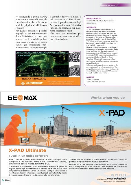
X-PAD Ultimate<br />
Tutto in un unico software<br />
X-PAD Ultimate è un software modulare, facile da usare per lavori<br />
topografici e del cantiere, come rilievi, tracciamenti, catasto,<br />
controlli BIM, strade, mappe, batimetria e GIS.<br />
Il software è disponibile sulla piattaforma Android e porta le<br />
migliori tecnologie direttamente in campo nella tua mano: una<br />
completa visualizzazione 3D ed un sistema CAD per visualizzare e<br />
modificare i disegni, integrazione dei tuoi dati con tutte le tipologie<br />
di mappe, supporti per la realtà aumentata e molto altro.<br />
XPad Ultimate ti assicura la produttività e ti permette di avere una<br />
perfetta integrazione con tutti gli strumenti.<br />
Disponibile in due versioni, una dedicata a chi lavora nel campo<br />
della topografia ed una dedicata alle imprese di costruzioni,<br />
offrendo ad entrambi delle caratteristiche dedicate.<br />
geomax-positioning.it<br />
©2020 Hexagon AB and/or its subsidiaries<br />
and affiliates. All rights reserved.


