Princely Hikes in Liechtenstein
Which country in Europe has the densest network of hiking trails? It’s not the alpine classics of Switzerland or Austria, but in fact the small Principality of Liechtenstein nestling between those two countries. More than 400 kilometres of well-maintained and clearly signposted trails and majestic mountains up to 2600 metres above sea level attract walkers and hikers to Liechtenstein.
Which country in Europe has the densest network of hiking trails? It’s not the alpine classics of Switzerland or Austria, but in fact the small Principality of Liechtenstein nestling between those two countries. More than 400 kilometres of well-maintained and clearly signposted trails and majestic mountains up to 2600 metres above sea level attract walkers and hikers to Liechtenstein.

Create successful ePaper yourself
Turn your PDF publications into a flip-book with our unique Google optimized e-Paper software.
22 → tourismus.li/hik<strong>in</strong>g<br />
WALKING TRAIL<br />
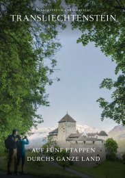
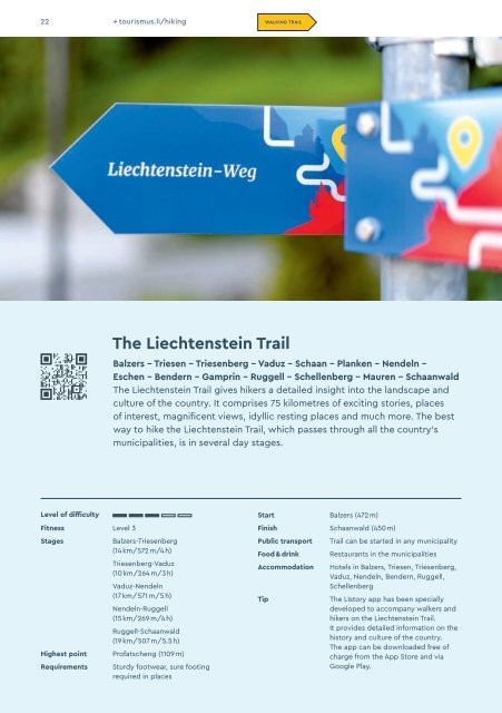
The Liechtenste<strong>in</strong> Trail<br />
Balzers – Triesen – Triesenberg – Vaduz – Schaan – Planken – Nendeln –<br />
Eschen – Bendern – Gampr<strong>in</strong> – Ruggell – Schellenberg – Mauren – Schaanwald<br />
The Liechtenste<strong>in</strong> Trail gives hikers a detailed <strong>in</strong>sight <strong>in</strong>to the landscape and<br />
culture of the country. It comprises 75 kilometres of excit<strong>in</strong>g stories, places<br />
of <strong>in</strong>terest, magnificent views, idyllic rest<strong>in</strong>g places and much more. The best<br />
way to hike the Liechtenste<strong>in</strong> Trail, which passes through all the country’s<br />
municipalities, is <strong>in</strong> several day stages.<br />
Level of difficulty<br />
Fitness Level 3<br />
Stages<br />
Balzers-Triesenberg<br />
(14 km/572 m/4 h)<br />
Triesenberg-Vaduz<br />
(10 km/264 m/3 h)<br />
Vaduz-Nendeln<br />
(17 km/571 m/5 h)<br />
Nendeln-Ruggell<br />
(15 km/269 m/4 h)<br />
Ruggell-Schaanwald<br />
(19 km/507 m/5.5 h)<br />
Highest po<strong>in</strong>t Profatscheng (1109 m)<br />
Requirements<br />
Sturdy footwear, sure foot<strong>in</strong>g<br />
required <strong>in</strong> places<br />
Start Balzers (472 m)<br />
F<strong>in</strong>ish Schaanwald (450 m)<br />
Public transport<br />
Food & dr<strong>in</strong>k<br />
Accommodation<br />
Tip<br />
Trail can be started <strong>in</strong> any municipality<br />
Restaurants <strong>in</strong> the municipalities<br />
Hotels <strong>in</strong> Balzers, Triesen, Triesenberg,<br />
Vaduz, Nendeln, Bendern, Ruggell,<br />
Schellenberg<br />
The LIstory app has been specially<br />
developed to accompany walkers and<br />
hikers on the Liechtenste<strong>in</strong> Trail.<br />
It provides detailed <strong>in</strong>formation on the<br />
history and culture of the country.<br />
The app can be downloaded free of<br />
charge from the App Store and via<br />
Google Play.