the richtersveld cultural and botanical landscape - SAHRA
the richtersveld cultural and botanical landscape - SAHRA
the richtersveld cultural and botanical landscape - SAHRA
You also want an ePaper? Increase the reach of your titles
YUMPU automatically turns print PDFs into web optimized ePapers that Google loves.
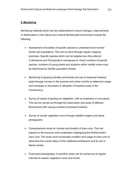
Richtersveld Cultural <strong>and</strong> Botanical L<strong>and</strong>scape World Heritage Site Nomination 142<br />
6. Monitoring<br />
Monitoring methods which can be implemented to record changes, improvements<br />
or deterioration in <strong>the</strong> natural <strong>and</strong> <strong>cultural</strong> Richtersveld environment include <strong>the</strong><br />
following:<br />
• Assessment of localities of specific species to underst<strong>and</strong> <strong>and</strong> monitor<br />
trends <strong>and</strong> populations. This can be done through regular mapping<br />
exercises. Specific species which can be targeted are Aloe pillansii,<br />
A.dichotoma <strong>and</strong> Pachypodium namaquanum. Exact numbers of specific<br />
species, numbers of young plants <strong>and</strong> locations within rainfall zones must<br />
be determined to identify population threats.<br />
• Monitoring of grazing activities <strong>and</strong> trends <strong>and</strong> use of seasonal livestock<br />
posts through surveys in <strong>the</strong> summer <strong>and</strong> winter months to determine usage<br />
<strong>and</strong> increases or decreases in utilization of livestock posts in <strong>the</strong><br />
Conservancy.<br />
• Survey of impact of grazing on vegetation, with an emphasis on succulents.<br />
This can be carried out through <strong>the</strong> observation <strong>and</strong> study of different<br />
fenced plots with varying numbers of present livestock.<br />
• Survey of overall vegetation cover through satellite imagery <strong>and</strong> aerial<br />
photographs.<br />
• Comprehensive study on number <strong>and</strong> location of |haru oms. This can<br />
exp<strong>and</strong> on <strong>the</strong> previous work undertaken cataloguing <strong>the</strong> Richtersveld’s<br />
|haru oms. The study must incorporate condition <strong>and</strong> usage of |haru oms to<br />
determine <strong>the</strong> overall status of <strong>the</strong> traditional architecture <strong>and</strong> its role in<br />
Nama society.<br />
• Fixed point photography of sensitive areas can be carried out at regular<br />
intervals to assess vegetation cover <strong>and</strong> trends.


