ecological characterization atlas of coastal alabama - Data Center
ecological characterization atlas of coastal alabama - Data Center
ecological characterization atlas of coastal alabama - Data Center
You also want an ePaper? Increase the reach of your titles
YUMPU automatically turns print PDFs into web optimized ePapers that Google loves.
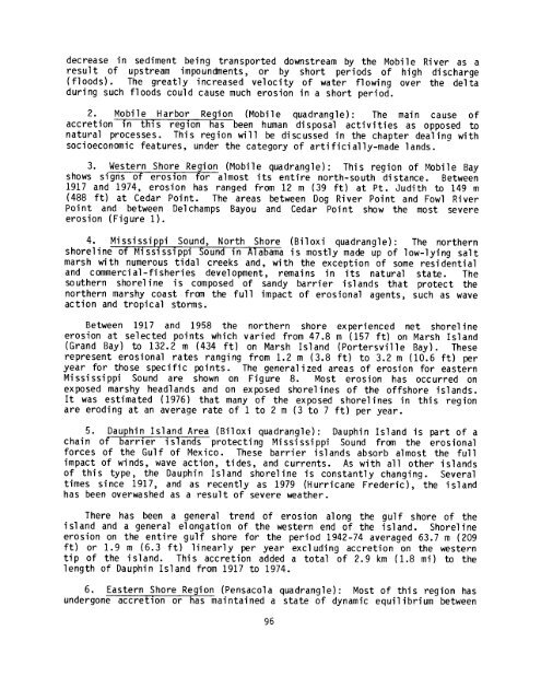
decrease in sediment being transported downstream by the Mobile River as a<br />
result <strong>of</strong> upstream impoundments, or by short periods <strong>of</strong> high discharge<br />
(floods) . The greatly increased velocity <strong>of</strong> water flowing over the delta<br />
during such floods could cause much erosion in a short period .<br />
2 . Mobile Harbor Region (Mobile quadrangle) : The main cause <strong>of</strong><br />
accretion in t is region has been human disposal activities as opposed to<br />
natural processes . This region will be discussed in the chapter dealing with<br />
socioeconomic features, under the category <strong>of</strong> artificially-made lands .<br />
3 . Western Shore Region (Mobile quadrangle) : This region <strong>of</strong> Mobile Bay<br />
shows signs <strong>of</strong> erosion for almost its entire north-south distance . Between<br />
1917 and 1974, erosi on has ranged from 12 m ( 39 ft) at Pt . Judi th to 149 m<br />
(488 ft) at Cedar Point . The areas between Dog River Point and Fowl River<br />
Point and between Delchamps Bayou and Cedar Point show the most severe<br />
erosion (Figure 1) .<br />
4 . Mississippi Sound, North Shore (Biloxi quadrangle) : The northern<br />
shoreline <strong>of</strong> Mississippi Sound in Alabama is mostly made up <strong>of</strong> low-lying salt<br />
marsh with numerous tidal creeks and, with the exception <strong>of</strong> some residential<br />
and commercial-fisheries development, remains in its natural state . The<br />
southern shoreline is composed <strong>of</strong> sandy barrier islands that protect the<br />
northern marshy coast from the full impact <strong>of</strong> erosional agents, such as wave<br />
action and tropical storms .<br />
Between 1917 and 1958 the northern shore experienced net shoreline<br />
erosion at selected points which varied from 47 .8 m (157 ft) on Marsh Island<br />
(Grand Bay) to 132 .2 m (434 ft) on Marsh Island (Portersville Bay) . These<br />
represent erosional rates ranging from 1 .2 m (3 .8 ft) to 3 .2 m (10 .6 ft) per<br />
year for those specific points . The generalized areas <strong>of</strong> erosion for eastern<br />
Mississippi Sound are shown on Figure 8 . Most erosion has occurred on<br />
exposed marshy headlands and on exposed shorelines <strong>of</strong> the <strong>of</strong>fshore islands .<br />
It was estimated (1976) that many <strong>of</strong> the exposed shorelines in this region<br />
are eroding at an average rate <strong>of</strong> 1 to 2 m (3 to 7 ft) per year .<br />
5 . Dauphin Island Area (Biloxi quadrangle) : Dauphin Island is part <strong>of</strong> a<br />
chain <strong>of</strong> barrier is ands protecting Mississippi Sound from the erosional<br />
forces <strong>of</strong> the Gulf <strong>of</strong> Mexico . These barrier islands absorb almost the full<br />
impact <strong>of</strong> winds, wave action, tides, and currents . As with all other islands<br />
<strong>of</strong> this type, the Dauphin Island shoreline is constantly changing . Several<br />
times since 1917, and as recently as 1979 (Hurricane Frederic), the island<br />
has been overwashed as a result <strong>of</strong> severe weather .<br />
There has been a general trend <strong>of</strong> erosion along the gulf shore <strong>of</strong> the<br />
island and a general elongation <strong>of</strong> the western end <strong>of</strong> the island . Shoreline<br />
erosion on the entire gulf shore for the period 1942-74 averaged 63 .7 m (209<br />
ft) or 1 .9 m (6 .3 ft) linearly per year excluding accretion on the western<br />
tip <strong>of</strong> the island . This accretion added a total <strong>of</strong> 2 .9 km (1 .8 mi) to the<br />
length <strong>of</strong> Dauphin Island from 1917 to 1974 .<br />
6 . Eastern Shore Region (Pensacola quadrangle) : Most <strong>of</strong> this region has<br />
undergone accretion or has maintained a state <strong>of</strong> dynamic equilibrium between<br />
96


