ecological characterization atlas of coastal alabama - Data Center
ecological characterization atlas of coastal alabama - Data Center
ecological characterization atlas of coastal alabama - Data Center
Create successful ePaper yourself
Turn your PDF publications into a flip-book with our unique Google optimized e-Paper software.
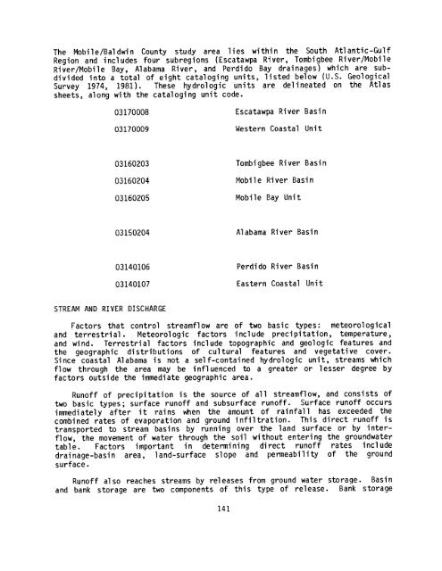
The Mobile/Baldwin County study area lies within the South Atlantic-Gulf<br />
Region and includes four subregions (Escatawpa River, Tombigbee River/Mobile<br />
River/Mobile Bay, Alabama River, and Perdido Bay drainages) which are subdivided<br />
into a total <strong>of</strong> eight cataloging units, listed below (U .S . Geological<br />
Survey 1974, 1981) . These hydrologic units are delineated on the Atlas<br />
sheets, along with the cataloging unit code .<br />
03170008<br />
03170009<br />
Escatawpa River Basin<br />
Western Coastal Unit<br />
03160203<br />
03160204<br />
Tombigbee River Basin<br />
Mobile River Basin<br />
03160205<br />
Mobile<br />
Bay Unit<br />
03150204<br />
Alabama River Basin<br />
03140106<br />
03140107<br />
Perdido River Basin<br />
Eastern Coastal Unit<br />
STREAM AND RIVER DISCHARGE<br />
Factors that control streamflow are <strong>of</strong> two basic types : meteorological<br />
and terrestrial . Meteorologic factors include precipitation, temperature,<br />
and wind . Terrestrial factors include topographic and geologic features and<br />
the geographic distributions <strong>of</strong> cultural features and vegetative cover .<br />
Since <strong>coastal</strong> Alabama is not a self-contained hydrologic unit, streams which<br />
flow through the area may be influenced to a greater or lesser degree by<br />
factors outside the immediate geographic area .<br />
Run<strong>of</strong>f <strong>of</strong> precipitation is the source <strong>of</strong> all streamflow, and consists <strong>of</strong><br />
two basic types ; surface run<strong>of</strong>f and subsurface run<strong>of</strong>f . Surface run<strong>of</strong>f occurs<br />
immediately after it rains when the amount <strong>of</strong> rainfall has exceeded the<br />
combined rates <strong>of</strong> evaporation and ground infiltration . This direct run<strong>of</strong>f is<br />
transported to stream basins by running over the land surface or by interflow,<br />
the movement <strong>of</strong> water through the soil without entering the groundwater<br />
table . Factors important in determining direct run<strong>of</strong>f rates include<br />
drainage-basin area, land-surface slope and permeability <strong>of</strong> the ground<br />
surface .<br />
Run<strong>of</strong>f also reaches streams by releases from ground water storage . Basin<br />
and bank storage are two components <strong>of</strong> this type <strong>of</strong> release . Bank storage<br />
141


