

CHANGE SERVICE REQUESTED The California Surveyor ... - CLSA
CHANGE SERVICE REQUESTED The California Surveyor ... - CLSA
CHANGE SERVICE REQUESTED The California Surveyor ... - CLSA

Create successful ePaper yourself
Turn your PDF publications into a flip-book with our unique Google optimized e-Paper software.
Practical Applications of Photogrammetry<br />
By: Lorraine B. Amenda, PLS<br />
Imust confess that my childhood was not spent with dreams of<br />
becoming a land surveyor or photogrammetrist. That came much<br />
later, in my early twenties. However, at the tender age of fourteen I<br />
did fall in love with the city of San Francisco and my career as a<br />
photogrammetrist has made it possible for me to spend the last<br />
eighteen years working in the “City by the Bay.”<br />
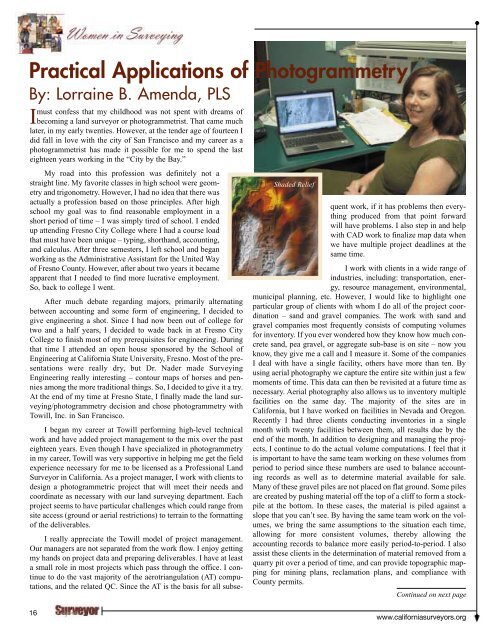
Shaded Relief<br />
My road into this profession was definitely not a<br />
straight line. My favorite classes in high school were geometry<br />
and trigonometry. However, I had no idea that there was<br />
actually a profession based on those principles. After high<br />
school my goal was to find reasonable employment in a<br />
short period of time – I was simply tired of school. I ended<br />
up attending Fresno City College where I had a course load<br />
that must have been unique – typing, shorthand, accounting,<br />
and calculus. After three semesters, I left school and began<br />
working as the Administrative Assistant for the United Way<br />
of Fresno County. However, after about two years it became<br />
apparent that I needed to find more lucrative employment.<br />
So, back to college I went.<br />
After much debate regarding majors, primarily alternating<br />
between accounting and some form of engineering, I decided to<br />
give engineering a shot. Since I had now been out of college for<br />
two and a half years, I decided to wade back in at Fresno City<br />
College to finish most of my prerequisites for engineering. During<br />
that time I attended an open house sponsored by the School of<br />
Engineering at <strong>California</strong> State University, Fresno. Most of the presentations<br />
were really dry, but Dr. Nader made Surveying<br />
Engineering really interesting – contour maps of horses and pennies<br />
among the more traditional things. So, I decided to give it a try.<br />
At the end of my time at Fresno State, I finally made the land surveying/photogrammetry<br />
decision and chose photogrammetry with<br />
Towill, Inc. in San Francisco.<br />
I began my career at Towill performing high-level technical<br />
work and have added project management to the mix over the past<br />
eighteen years. Even though I have specialized in photogrammetry<br />
in my career, Towill was very supportive in helping me get the field<br />
experience necessary for me to be licensed as a Professional Land<br />
<strong>Surveyor</strong> in <strong>California</strong>. As a project manager, I work with clients to<br />
design a photogrammetric project that will meet their needs and<br />
coordinate as necessary with our land surveying department. Each<br />
project seems to have particular challenges which could range from<br />
site access (ground or aerial restrictions) to terrain to the formatting<br />
of the deliverables.<br />
I really appreciate the Towill model of project management.<br />
Our managers are not separated from the work flow. I enjoy getting<br />
my hands on project data and preparing deliverables. I have at least<br />
a small role in most projects which pass through the office. I continue<br />
to do the vast majority of the aerotriangulation (AT) computations,<br />
and the related QC. Since the AT is the basis for all subsequent<br />
work, if it has problems then everything<br />
produced from that point forward<br />
will have problems. I also step in and help<br />
with CAD work to finalize map data when<br />
we have multiple project deadlines at the<br />
same time.<br />
I work with clients in a wide range of<br />
industries, including: transportation, energy,<br />
resource management, environmental,<br />
municipal planning, etc. However, I would like to highlight one<br />
particular group of clients with whom I do all of the project coordination<br />
– sand and gravel companies. <strong>The</strong> work with sand and<br />
gravel companies most frequently consists of computing volumes<br />
for inventory. If you ever wondered how they know how much concrete<br />
sand, pea gravel, or aggregate sub-base is on site – now you<br />
know, they give me a call and I measure it. Some of the companies<br />
I deal with have a single facility, others have more than ten. By<br />
using aerial photography we capture the entire site within just a few<br />
moments of time. This data can then be revisited at a future time as<br />
necessary. Aerial photography also allows us to inventory multiple<br />
facilities on the same day. <strong>The</strong> majority of the sites are in<br />
<strong>California</strong>, but I have worked on facilities in Nevada and Oregon.<br />
Recently I had three clients conducting inventories in a single<br />
month with twenty facilities between them, all results due by the<br />
end of the month. In addition to designing and managing the projects,<br />
I continue to do the actual volume computations. I feel that it<br />
is important to have the same team working on these volumes from<br />
period to period since these numbers are used to balance accounting<br />
records as well as to determine material available for sale.<br />
Many of these gravel piles are not placed on flat ground. Some piles<br />
are created by pushing material off the top of a cliff to form a stockpile<br />
at the bottom. In these cases, the material is piled against a<br />
slope that you can’t see. By having the same team work on the volumes,<br />
we bring the same assumptions to the situation each time,<br />
allowing for more consistent volumes, thereby allowing the<br />
accounting records to balance more easily period-to-period. I also<br />
assist these clients in the determination of material removed from a<br />
quarry pit over a period of time, and can provide topographic mapping<br />
for mining plans, reclamation plans, and compliance with<br />
County permits.<br />
Continued on next page<br />
16<br />
www.californiasurveyors.org


