Ground Truth Studies Teacher Handbook - Aspen Global Change ...
Ground Truth Studies Teacher Handbook - Aspen Global Change ...
Ground Truth Studies Teacher Handbook - Aspen Global Change ...

Create successful ePaper yourself
Turn your PDF publications into a flip-book with our unique Google optimized e-Paper software.
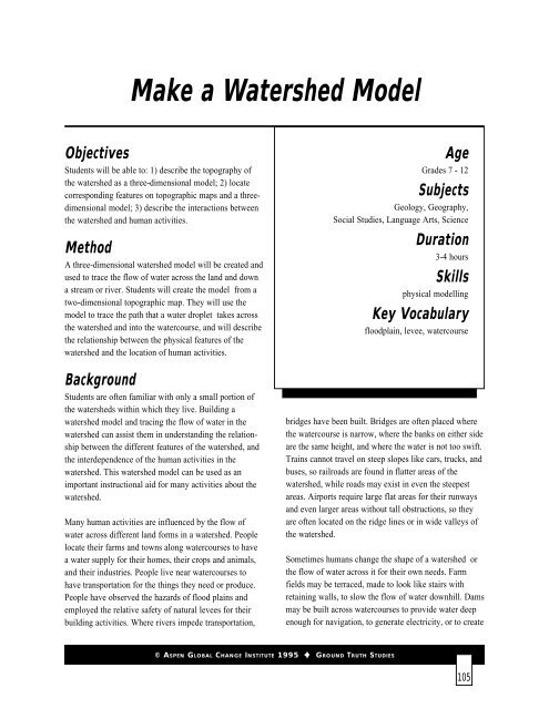
Make a Watershed Model<br />
Objectives<br />
Students will be able to: 1) describe the topography of<br />
the watershed as a three-dimensional model; 2) locate<br />
corresponding features on topographic maps and a threedimensional<br />
model; 3) describe the interactions between<br />
the watershed and human activities.<br />
Method<br />
A three-dimensional watershed model will be created and<br />
used to trace the flow of water across the land and down<br />
a stream or river. Students will create the model from a<br />
two-dimensional topographic map. They will use the<br />
model to trace the path that a water droplet takes across<br />
the watershed and into the watercourse, and will describe<br />
the relationship between the physical features of the<br />
watershed and the location of human activities.<br />
Background<br />
Students are often familiar with only a small portion of<br />
the watersheds within which they live. Building a<br />
watershed model and tracing the flow of water in the<br />
watershed can assist them in understanding the relationship<br />
between the different features of the watershed, and<br />
the interdependence of the human activities in the<br />
watershed. This watershed model can be used as an<br />
important instructional aid for many activities about the<br />
watershed.<br />
Many human activities are influenced by the flow of<br />
water across different land forms in a watershed. People<br />
locate their farms and towns along watercourses to have<br />
a water supply for their homes, their crops and animals,<br />
and their industries. People live near watercourses to<br />
have transportation for the things they need or produce.<br />
People have observed the hazards of flood plains and<br />
employed the relative safety of natural levees for their<br />
building activities. Where rivers impede transportation,<br />
Age<br />
Grades 7 - 12<br />
Subjects<br />
Geology, Geography,<br />
Social <strong>Studies</strong>, Language Arts, Science<br />
Duration<br />
3-4 hours<br />
Skills<br />
physical modelling<br />
Key Vocabulary<br />
floodplain, levee, watercourse<br />
bridges have been built. Bridges are often placed where<br />
the watercourse is narrow, where the banks on either side<br />
are the same height, and where the water is not too swift.<br />
Trains cannot travel on steep slopes like cars, trucks, and<br />
buses, so railroads are found in flatter areas of the<br />
watershed, while roads may exist in even the steepest<br />
areas. Airports require large flat areas for their runways<br />
and even larger areas without tall obstructions, so they<br />
are often located on the ridge lines or in wide valleys of<br />
the watershed.<br />
Sometimes humans change the shape of a watershed or<br />
the flow of water across it for their own needs. Farm<br />
fields may be terraced, made to look like stairs with<br />
retaining walls, to slow the flow of water downhill. Dams<br />
may be built across watercourses to provide water deep<br />
enough for navigation, to generate electricity, or to create<br />
© ASPEN GLOBAL CHANGE INSTITUTE 1995 GROUND TRUTH STUDIES<br />
105


![View Powerpoint Slides [PDF]](https://img.yumpu.com/32486693/1/190x146/view-powerpoint-slides-pdf.jpg?quality=85)

![View Powerpoint Slides [PDF]](https://img.yumpu.com/29411106/1/190x143/view-powerpoint-slides-pdf.jpg?quality=85)