Create successful ePaper yourself
Turn your PDF publications into a flip-book with our unique Google optimized e-Paper software.
41<br />
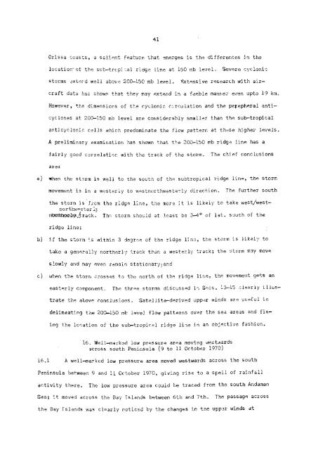
Orissa coasts, a salient feature that emerges is the differences in the<br />
location of the sub-tropical ridge line at 150 mb level. Severe cyclonic<br />
storms extend well above 200-150 mb level. Extensive research with aircraft<br />
data has shown that they may extend in a feeble manner even upto 19 km.<br />
However, the dimensions of the cyclonic circulation and the percepheral anticyclones<br />
at 200-150 mb level are considerably smaller than the sub-tropical<br />
anticyclonic cells which predominate the flow pattern at these higher levels.<br />
A preliminary examination has shown that the 200—150 mb ridge line has a<br />
fairly good correlation with the track of the storm. The chief conclusions<br />
are:<br />
a) when the storm is well to the south of the subtropical ridge line, the storm<br />
movement is in a westerly to westnorthwesterly direction. The further south<br />
the storm is from the ridge line, the more it is likely to take west/westnorthwesterly<br />
ridge line;<br />
The storm should at least be 3-4° of lat. south of the<br />
b) if the storm is within 3 degree of the ridge line, the storm is likely to<br />
take a generally northerly track than a westerly track; the storm may move<br />
slowly and may even remain stationary; and<br />
c) when the storm crosses to the north of the ridge line, the movement gets an<br />
easterly component. The three storms discussed in Secs. 13-15 clearly illustrate<br />
the above conclusions. Satellite-derived upper winds are useful in<br />
delineating the 200-150 mb level flow patterns over the sea areas and fixing<br />
the location of the sub—tropical ridge line in an objective fashion.<br />
16. Well-marked low pressure area moving westwards<br />
across south Peninsula (9 to 11 October 1970)<br />
16.1 A well-marked low pressure area moved westwards across the south<br />
Peninsula between 9 and 11 October 1970, giving rise to a spell of rainfall<br />
activity there. The low pressure area could be traced from the south Andaman<br />
Sea; it moved across the Bay Islands between 6th and 7th. The passage across<br />
the Bay Islands was clearly noticed by the changes in tne upper winds at


