

FoxHershockMappingCommunities
FoxHershockMappingCommunities
FoxHershockMappingCommunities

You also want an ePaper? Increase the reach of your titles
YUMPU automatically turns print PDFs into web optimized ePapers that Google loves.
and implement projects. Some NGOs<br />
also use SIT products. Projects range<br />
from forest restoration and fuels<br />
reduction to resource inventories and<br />
management (roads, timber, NTFP,<br />
fisheries, and wildlife). SIT is also used<br />
in efforts to defend resource access. TC<br />
GIS has worked with the County<br />
Planning Department's Natural<br />
Resources Division to develop a GIS on<br />
the use of Trinity River water for<br />
irrigation of selenium polluted soils in<br />
the San Joaquin Valley. This is a critical<br />
issue for Trinity County because<br />
historically up to 90 percent of the flow<br />
of the Trinity River has been diverted for<br />
uses in the Central Valley. The county,<br />
along with the local tribes and other<br />
stakeholders, has been embroiled in a<br />
battle to reduce the outtake from the<br />
river for over twenty years. The ability<br />
to use SIT to make the argument that<br />
precious water that could have come<br />
from the Trinity River is wasted or<br />
misused was important in Trinity County<br />
testimony before the State Water<br />
Resources Control Board. SIT<br />
development has also empowered the<br />
public through better understanding<br />
which has enhanced citizen participation, especially in<br />
management planning on public and private lands.<br />
There are also several projects informed by SIT that are not<br />
explicitly related to natural resources. The county<br />
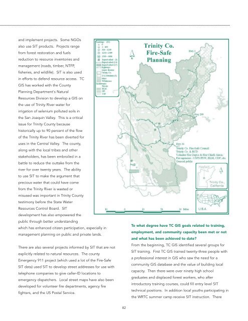
Emergency 911 project (which used a lot of the Fire-Safe<br />
SIT data) used SIT to develop street addresses for use with<br />
telephone companies to give caller-ID locations to<br />
emergency dispatchers. Local street maps have also been<br />
developed for volunteer fire departments, agency fire<br />
fighters, and the US Postal Service.<br />
To what degree have TC GIS goals related to training,<br />
employment, and community capacity been met or not<br />
and what has been achieved to date<br />
From the beginning, TC GIS identified several groups for<br />
SIT training. First TC GIS trained twenty-three people with<br />
a professional interest in GIS who saw the need for a<br />
community GIS database and the value of building local<br />
capacity. Then there were over ninety high school<br />
graduates and displaced forest workers, who after<br />
introductory training courses, could fill entry level SIT<br />
technical positions. In addition local youths participating in<br />
the WRTC summer camp receive SIT instruction. There<br />
82
