CAST Fiscal Year 2004-2005 Annual Report - Center for Advanced ...
CAST Fiscal Year 2004-2005 Annual Report - Center for Advanced ...
CAST Fiscal Year 2004-2005 Annual Report - Center for Advanced ...

Create successful ePaper yourself
Turn your PDF publications into a flip-book with our unique Google optimized e-Paper software.
county, state and regional governments. We<br />
accomplish this task through research,<br />
appropriate technology transfer, education (at<br />
multiple education levels), and distribution of<br />
GIS data, supporting users, developing<br />
applications and by offering professional GIS<br />
education to a growing audience of new users.<br />
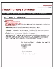
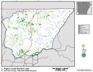
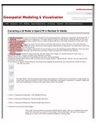
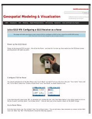
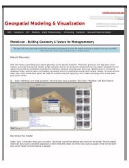
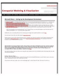
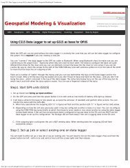
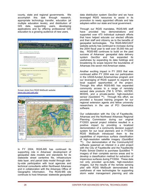
Screen shots from RGIS MidSouth website:<br />
www.rgis.cast.uark.edu<br />
In FY <strong>2004</strong>, RGIS-MS has continued its<br />
supporting role in Arkansas’ development of<br />
geospatial data models and standards <strong>for</strong> its<br />
statewide street centerline file, infrastructure<br />
data layer, and parcel data model through sideby-side<br />
participation with local agencies and<br />
technical consultants within Northwest Arkansas<br />
and in collaboration with the Arkansas Office of<br />
Geographic In<strong>for</strong>mation. The RGIS-MS site<br />
continues to host Arkansas’ statewide geospatial<br />
data distribution system GeoStor and we have<br />
leveraged RGIS resources to assist in its<br />
promotion to newly appointed officials and late<br />
adopters within our state and local government.<br />
Through our RGIS mandates, RGIS-MS staff<br />
have provided key demonstrations and<br />
supported over 470 individual outreach ef<strong>for</strong>ts<br />
that have helped educate our elected officials<br />
and their staff and citizenry as to the benefits of<br />
geospatial technologies. The RGIS-MS/<strong>CAST</strong><br />
website activity has continued to increase during<br />
the <strong>2004</strong> fiscal year to well over 35,000 hits per<br />
day. RGIS-MS continues to build on the past<br />
success of Arkansas’ geospatial data delivery<br />
system GeoStor and has expanded its<br />
usefulness by expanding its data holdings and<br />
broadening its scope beyond the boundaries of<br />
Arkansas into seven mid-American states.<br />
Another exciting impact in FY 2003 that was<br />
continued within FY <strong>2004</strong> was our participation<br />
in the USGS-funded AmericaView program and<br />
our leveraging of RGIS support to expand the<br />
local support opportunities of the project.<br />
Through this ef<strong>for</strong>t RGIS-MS has expanded<br />
community access to a range of remotely<br />
sensed data products (TM 5, ETM+, ASTER,<br />
MODIS, and a private-sector, high-resolution<br />
sensor (Quickbird ). Through this ef<strong>for</strong>t, we<br />
provided a focused training program <strong>for</strong> our<br />
regional extension agents and fellow university<br />
researchers in the use of PCI Geomatics<br />
software.<br />
Our collaboration with the City of Fayetteville,<br />
Arkansas and the Northwest Arkansas Regional<br />
Planning Commission during our original<br />
FY2003 special project initiative resulted in a<br />
positive impact by providing a localized<br />
demonstration of a community decision support<br />
system <strong>for</strong> our local planners and in FY<strong>2004</strong><br />
RGIS MidSouth introduced them to the<br />
capabilities of impervious surface classification<br />
of high-resolution satellite imagery (QuickBird<br />
). Our demonstration of the CommunityVIZ<br />
software spawned an interest in a pilot project<br />
with the City of Fayetteville and the Fayetteville<br />
Public School District to purchase QuickBird <br />
imagery of their complete service areas and to<br />
develop a classification method <strong>for</strong> extraction of<br />
impervious surfaces during FY<strong>2004</strong>. These data<br />
not only provided up-to-date, high-resolution<br />
imagery, but the results of the remote sensing<br />
pilot with RGIS MidSouth demonstrated the<br />
usefulness of new technologies <strong>for</strong> supporting<br />
storm water management planning and site<br />
28 CENTER FOR ADVANCED SPATIAL TECHNOLOGIES