


Create successful ePaper yourself
Turn your PDF publications into a flip-book with our unique Google optimized e-Paper software.
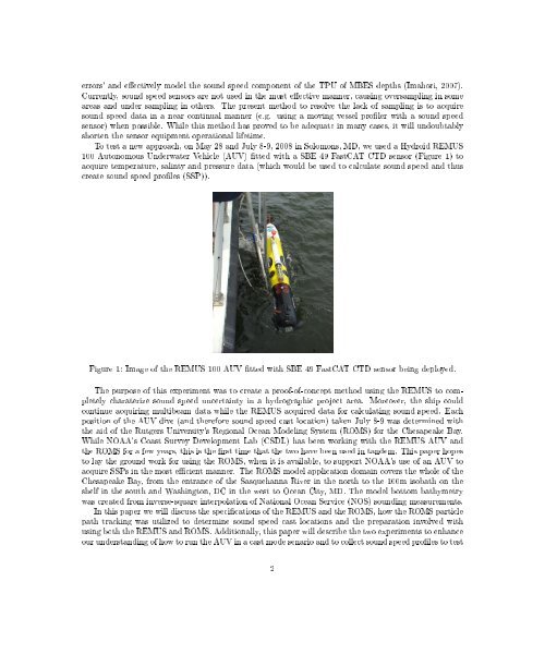
errors' and eectively model the sound speed component of the TPU of MBES depths (Imahori, 2007).Currently, sound speed sensors are not used in the most eective manner, causing oversampling in someareas and under sampling in others. The present method to resolve the lack of sampling is to acquiresound speed data in a near continual manner (e.g. using a moving vessel proler with a sound speedsensor) when possible. While this method has proved to be adequate in many cases, it will undoubtablyshorten the sensor equipment operational lifetime.To test a new approach, on May 28 and July 8-9, 2008 in Solomons, MD, we used a Hydroid REMUS100 Autonomous Underwater Vehicle (AUV) tted with a SBE 49 FastCAT CTD sensor (Figure 1) toacquire temperature, salinty and pressure data (which would be used to calculate sound speed and thuscreate sound speed proles (SSP)).Figure 1: Image of the REMUS 100 AUV tted with SBE 49 FastCAT CTD sensor being deployed.The purpose of this experiment was to create a proof-of-concept method using the REMUS to completelycharaterize sound speed uncertainty in a hydrographic project area. Moreover, the ship couldcontinue acquiring multibeam data while the REMUS acquired data for calculating sound speed. Eachposition of the AUV dive (and therefore sound speed cast location) taken July 8-9 was determined withthe aid of the Rutgers University's Regional Ocean Modeling System (ROMS) for the Chesapeake Bay.While NOAA's Coast Survey Development Lab (CSDL) has been working with the REMUS AUV andthe ROMS for a few years, this is the rst time that the two have been used in tandem. This paper hopesto lay the ground work for using the ROMS, when it is available, to support NOAA's use of an AUV toacquire SSPs in the most ecient manner. The ROMS model application domain covers the whole of theChesapeake Bay, from the entrance of the Sasquehanna River in the north to the 100m isobath on theshelf in the south and Washington, DC in the west to Ocean City, MD. The model bottom bathymetrywas created from inverse-square interpolation of National Ocean Service (NOS) sounding measurements.In this paper we will discuss the specications of the REMUS and the ROMS, how the ROMS particlepath tracking was utilized to determine sound speed cast locations and the preparation involved withusing both the REMUS and ROMS. Additionally, this paper will describe the two experiments to enhanceour understanding of how to run the AUV in a cast mode senario and to collect sound speed proles to test2


