2030 Comprehensive Land Use Plan - Pitt County Government
2030 Comprehensive Land Use Plan - Pitt County Government
2030 Comprehensive Land Use Plan - Pitt County Government
- No tags were found...
You also want an ePaper? Increase the reach of your titles
YUMPU automatically turns print PDFs into web optimized ePapers that Google loves.
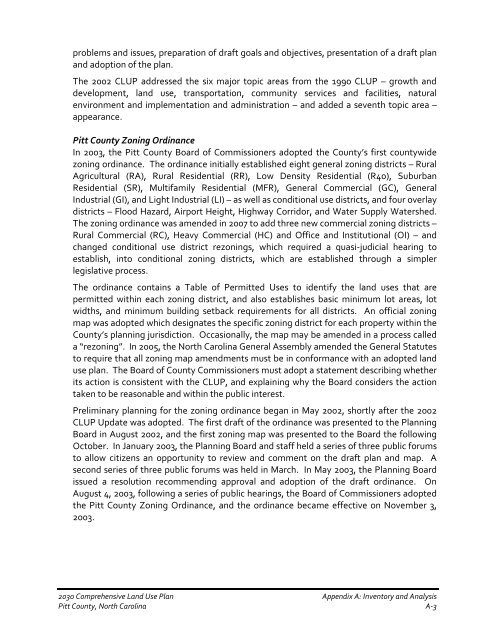
problems and issues, preparation of draft goals and objectives, presentation of a draft planand adoption of the plan.The 2002 CLUP addressed the six major topic areas from the 1990 CLUP – growth anddevelopment, land use, transportation, community services and facilities, naturalenvironment and implementation and administration – and added a seventh topic area –appearance.<strong>Pitt</strong> <strong>County</strong> Zoning OrdinanceIn 2003, the <strong>Pitt</strong> <strong>County</strong> Board of Commissioners adopted the <strong>County</strong>’s first countywidezoning ordinance. The ordinance initially established eight general zoning districts – RuralAgricultural (RA), Rural Residential (RR), Low Density Residential (R40), SuburbanResidential (SR), Multifamily Residential (MFR), General Commercial (GC), GeneralIndustrial (GI), and Light Industrial (LI) – as well as conditional use districts, and four overlaydistricts – Flood Hazard, Airport Height, Highway Corridor, and Water Supply Watershed.The zoning ordinance was amended in 2007 to add three new commercial zoning districts –Rural Commercial (RC), Heavy Commercial (HC) and Office and Institutional (OI) – andchanged conditional use district rezonings, which required a quasi-judicial hearing toestablish, into conditional zoning districts, which are established through a simplerlegislative process.The ordinance contains a Table of Permitted <strong>Use</strong>s to identify the land uses that arepermitted within each zoning district, and also establishes basic minimum lot areas, lotwidths, and minimum building setback requirements for all districts. An official zoningmap was adopted which designates the specific zoning district for each property within the<strong>County</strong>’s planning jurisdiction. Occasionally, the map may be amended in a process calleda “rezoning”. In 2005, the North Carolina General Assembly amended the General Statutesto require that all zoning map amendments must be in conformance with an adopted landuse plan. The Board of <strong>County</strong> Commissioners must adopt a statement describing whetherits action is consistent with the CLUP, and explaining why the Board considers the actiontaken to be reasonable and within the public interest.Preliminary planning for the zoning ordinance began in May 2002, shortly after the 2002CLUP Update was adopted. The first draft of the ordinance was presented to the <strong>Plan</strong>ningBoard in August 2002, and the first zoning map was presented to the Board the followingOctober. In January 2003, the <strong>Plan</strong>ning Board and staff held a series of three public forumsto allow citizens an opportunity to review and comment on the draft plan and map. Asecond series of three public forums was held in March. In May 2003, the <strong>Plan</strong>ning Boardissued a resolution recommending approval and adoption of the draft ordinance. OnAugust 4, 2003, following a series of public hearings, the Board of Commissioners adoptedthe <strong>Pitt</strong> <strong>County</strong> Zoning Ordinance, and the ordinance became effective on November 3,2003.<strong>2030</strong> <strong>Comprehensive</strong> <strong>Land</strong> <strong>Use</strong> <strong>Plan</strong> Appendix A: Inventory and Analysis<strong>Pitt</strong> <strong>County</strong>, North Carolina A-3


