National Report of Sweden to the NKG General ... - Lantmäteriet
National Report of Sweden to the NKG General ... - Lantmäteriet
National Report of Sweden to the NKG General ... - Lantmäteriet

Create successful ePaper yourself
Turn your PDF publications into a flip-book with our unique Google optimized e-Paper software.
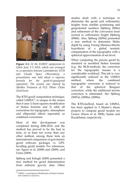
14Figure 2.1: At <strong>the</strong> EUREF symposium inGävle June 2-5 2010, which was arrangedin co-operation between Lantmäteriet, KTHand Onsala Space Observa<strong>to</strong>ry, apresentation was held about a rigorousformula for <strong>the</strong> geoid-<strong>to</strong>-quasigeoidseparation. The session was chaired byMarkku Poutanen <strong>of</strong> FGI. Pho<strong>to</strong>: ÖrjanZackrisson.The KTH geoid computation technique,called LSMSA 36 , is unique in <strong>the</strong> sensesthat it uses 1) least squares modification<strong>of</strong> S<strong>to</strong>kes formula and 2) adds allcorrections for <strong>to</strong>pography, atmosphereand ellipsoidal effects separately ascombined corrections.Most <strong>of</strong> this development wascompleted during 2006-2010, and <strong>the</strong>method has proved <strong>to</strong> be <strong>the</strong> best intests, or at least not worse than anyo<strong>the</strong>r method, among <strong>the</strong>se tests aninternational comparison <strong>of</strong> gravimetricgeoid s<strong>of</strong>tware packages vs. GPSlevellinggeoid models. For references,see Ågren et al. (2008) and (2009), andUlotu (2009).studies dealt with a technique <strong>to</strong>determine <strong>the</strong> geoid and orthometricheights from satellite positioning andgeopotential numbers (Sjöberg 2006a)and refinement <strong>of</strong> <strong>the</strong> conversion fromnormal <strong>to</strong> orthometric height (Sjöberg2006b). Also, Sjöberg (2009a) presenteda new method <strong>to</strong> determine Mohodepth by using Vening Meinesz-Moritzhypo<strong>the</strong>sis <strong>of</strong> a global isostaticcompensation <strong>of</strong> <strong>the</strong> <strong>to</strong>pography with aspherical approximation <strong>of</strong> sea level.When computing <strong>the</strong> precise geoid bystandard or modified S<strong>to</strong>kes formula(e.g. <strong>the</strong> RCR-method), <strong>the</strong> correctionfor <strong>the</strong> <strong>to</strong>pographic masses is aconsiderable workload. This job is verysignificantly reduced in <strong>the</strong> LSMSAmethod, where <strong>the</strong> combined<strong>to</strong>pographic correction is reduced <strong>to</strong>that <strong>of</strong> <strong>the</strong> spherical Bouguercorrection, while <strong>the</strong> additional terraincorrection is eliminated. See Sjöberg(2007a), (2008a), (2009a).The KTH-method, based on LSMSA,has been applied in 3 Master’s <strong>the</strong>sisprojects <strong>to</strong> compute geoid models forGreece (Daras et al. 2008), Sudan andKazakhstan, respectively.Sjöberg and Eshagh (2009) presented anew method for geoid determinationfrom airborne gravity data. O<strong>the</strong>r36LSMSA = Least Squares Modification <strong>of</strong> S<strong>to</strong>kes Formulawith Additive Corrections