National Report of Sweden to the NKG General ... - Lantmäteriet
National Report of Sweden to the NKG General ... - Lantmäteriet
National Report of Sweden to the NKG General ... - Lantmäteriet

You also want an ePaper? Increase the reach of your titles
YUMPU automatically turns print PDFs into web optimized ePapers that Google loves.
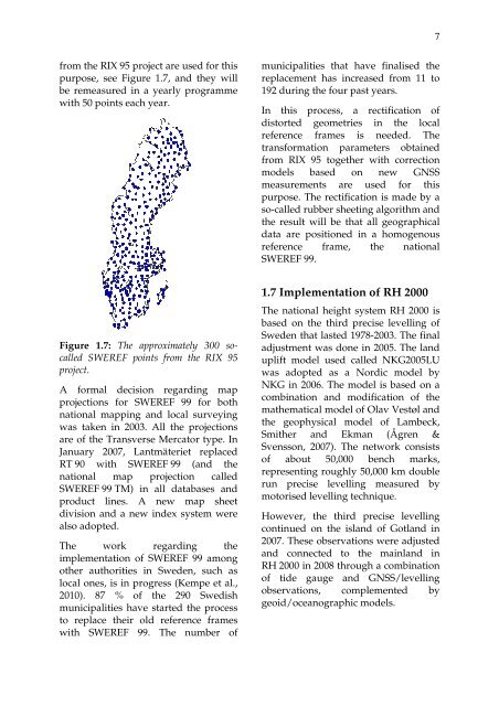
7from <strong>the</strong> RIX 95 project are used for thispurpose, see Figure 1.7, and <strong>the</strong>y willbe remeasured in a yearly programmewith 50 points each year.municipalities that have finalised <strong>the</strong>replacement has increased from 11 <strong>to</strong>192 during <strong>the</strong> four past years.In this process, a rectification <strong>of</strong>dis<strong>to</strong>rted geometries in <strong>the</strong> localreference frames is needed. Thetransformation parameters obtainedfrom RIX 95 <strong>to</strong>ge<strong>the</strong>r with correctionmodels based on new GNSSmeasurements are used for thispurpose. The rectification is made by aso-called rubber sheeting algorithm and<strong>the</strong> result will be that all geographicaldata are positioned in a homogenousreference frame, <strong>the</strong> nationalSWEREF 99.Figure 1.7: The approximately 300 socalledSWEREF points from <strong>the</strong> RIX 95project.A formal decision regarding mapprojections for SWEREF 99 for bothnational mapping and local surveyingwas taken in 2003. All <strong>the</strong> projectionsare <strong>of</strong> <strong>the</strong> Transverse Merca<strong>to</strong>r type. InJanuary 2007, Lantmäteriet replacedRT 90 with SWEREF 99 (and <strong>the</strong>national map projection calledSWEREF 99 TM) in all databases andproduct lines. A new map sheetdivision and a new index system werealso adopted.The work regarding <strong>the</strong>implementation <strong>of</strong> SWEREF 99 amongo<strong>the</strong>r authorities in <strong>Sweden</strong>, such aslocal ones, is in progress (Kempe et al.,2010). 87 % <strong>of</strong> <strong>the</strong> 290 Swedishmunicipalities have started <strong>the</strong> process<strong>to</strong> replace <strong>the</strong>ir old reference frameswith SWEREF 99. The number <strong>of</strong>1.7 Implementation <strong>of</strong> RH 2000The national height system RH 2000 isbased on <strong>the</strong> third precise levelling <strong>of</strong><strong>Sweden</strong> that lasted 1978-2003. The finaladjustment was done in 2005. The landuplift model used called <strong>NKG</strong>2005LUwas adopted as a Nordic model by<strong>NKG</strong> in 2006. The model is based on acombination and modification <strong>of</strong> <strong>the</strong>ma<strong>the</strong>matical model <strong>of</strong> Olav Vestøl and<strong>the</strong> geophysical model <strong>of</strong> Lambeck,Smi<strong>the</strong>r and Ekman (Ågren &Svensson, 2007). The network consists<strong>of</strong> about 50,000 bench marks,representing roughly 50,000 km doublerun precise levelling measured bymo<strong>to</strong>rised levelling technique.However, <strong>the</strong> third precise levellingcontinued on <strong>the</strong> island <strong>of</strong> Gotland in2007. These observations were adjustedand connected <strong>to</strong> <strong>the</strong> mainland inRH 2000 in 2008 through a combination<strong>of</strong> tide gauge and GNSS/levellingobservations, complemented bygeoid/oceanographic models.