RESERVOIR SEDIMENTATION ASSESSMENT GUIDELINE - Aneel
RESERVOIR SEDIMENTATION ASSESSMENT GUIDELINE - Aneel
RESERVOIR SEDIMENTATION ASSESSMENT GUIDELINE - Aneel
Create successful ePaper yourself
Turn your PDF publications into a flip-book with our unique Google optimized e-Paper software.
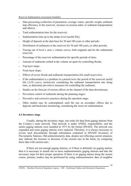
Reservoir Sedimentation Assessment Guideline• Data processing (collection of parameters, average values, specific weight, sedimenttrap efficiency in the reservoir, increase on erosion index or sediment transportationand others);• Total sedimentation time for the reservoir;• Sedimentation time up to the intake level (useful life);• Height of deposits at the dam base for 50 and 100 years or other periods;• Distribution of sediments in the reservoir for 50 and 100 years, or other periods;• Tracing out of level x area x volume curves, both originals and for the sedimentedreservoir;• Percentage of the reservoir sedimentation for specific periods of time;• Amount of sediments settled in the volume set apart for controlling floods;• Top layer slope;• Front layer slope;• Effects of severe floods and sediments transportation (for small reservoirs);• If the sedimentation is a problem in a period twice the period of the reservoir usefullife (2x50 years), inclusively considering the sediment transportation rate alongtime, so determine preventive measures for controlling the sediment;• Studies on the forecast of erosion effects on the channel of the dam downstream;• Prevention control of sediments during the planning stages;• Preventive and corrective practices during the operation stage;• Other studies may be contemplated, such the one on secondary effects due todeposits and backwater monitoring, considering the reservoir sedimentation.4.1 Inventory stageUsually, during the inventory stage, one seeks for data from gaging stations fromthe Country’s main network. That network is under ANEEL responsibility, and theearlier gaging stations were installed in 1971 by the former DNAEE. The network wasexpanded and some gaging stations were replaced. Therefore, it is always necessary toreview such discontinuity through information contained in DNAEE Inventory ofFluviometric Stations. Old sedimentometric data, despite not reflecting current situation,may indicate the increase or decrease of the erosion rate in the basin, by comparingthose data with current ones.If there are not enough gaging stations, or if there is definitely no gaging station,then it is necessary to install one or more sedimentometric gaging stations and take thenecessary steps for their proper operation. If there is no gaging station along the streamcourse, primary studies may be performed by using sedimentometric data of neighborANEEL – Brazilian Electricity Regulatory Agency / SIH – Hydrologic Studies and Information Department10


