1 Milltown Park Subdivision Replat CITY ... - City of Sandpoint
1 Milltown Park Subdivision Replat CITY ... - City of Sandpoint
1 Milltown Park Subdivision Replat CITY ... - City of Sandpoint

You also want an ePaper? Increase the reach of your titles
YUMPU automatically turns print PDFs into web optimized ePapers that Google loves.
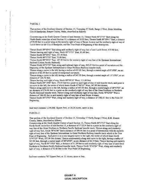
PARCEL 1That portion <strong>of</strong>the Southeast Quarter <strong>of</strong>Section IS, Township 57 North, RAnge 2 West, Boise Meridian,<strong>City</strong> <strong>of</strong><strong>Sandpoint</strong>, Bonner County, Idaho, described as follows:Commencing at the South Quarter Comer <strong>of</strong>said Section IS, Thence North 00'37'55" East along theNorth-South centerline <strong>of</strong>said Section 15, a distance <strong>of</strong>30.00 feet; Thence South 89'30'41" East, a distance<strong>of</strong>30.oo feet to a point lying 00 the easterly right <strong>of</strong>way <strong>of</strong>Boyer Avenue and the northerly right <strong>of</strong>way <strong>of</strong>Larch Slreet in the <strong>City</strong> <strong>of</strong>Saodpoint, and the True Point <strong>of</strong>Beginning <strong>of</strong>this descriptioo.Thence South 89'30'41" l!a5t alon8 said northerly right <strong>of</strong>way line <strong>of</strong>said Larch Slreet, 470.00 feet;Thence leaving said ri8bt <strong>of</strong>way, North 00°37'55" East, 85.00 feet;Thence South 89°30'41" East, 151.00 feet;Thence North 00°37'55" East, 75.00 feet;Thence South 89°30'41" East, 147.03 feet to the westerly right <strong>of</strong> way line <strong>of</strong> the Spokane InternationalRJlilroad (Union Pacific IWlroad);Thence North 00'37'55" East, along said railroad right <strong>of</strong>way, 945.67 feet to a point <strong>of</strong>curvature and thebeginning <strong>of</strong>the Spokane International to Great Northern RJlilway transfer track;Thence along a curve to the left, having a radius <strong>of</strong>437.02 feet, through a central angle <strong>of</strong> 8°1000", an arcdistance <strong>of</strong>62.29 feet to a point <strong>of</strong>compound curvature;Thence along a curve to the left, having a radius <strong>of</strong>547.99 feet, through a central angle <strong>of</strong> 13°]5'00", an arcdistance <strong>of</strong> 126.72 feet;Thence leaving said ri8bt <strong>of</strong>way, North 89°29'10" West, 111.06 feet,Thence North 00°16'00" East, 174.95 feet to a point on said right <strong>of</strong>way <strong>of</strong>said transfer tracle, said point ison curve to the left, the center <strong>of</strong>which bears South 47°00'35" West, 547.99 feet disbmt;Thence along said curve to the left, having a radius <strong>of</strong>547.99 feet, through a central angle 0[28°57'05", anarc distance <strong>of</strong>276.90 feet to a point on the southerly right <strong>of</strong>way line <strong>of</strong>the Great Northern to NorthernPacific Railroad transfer track; Thence along said southerly right <strong>of</strong> way line, North 78°42'04' West adistance <strong>of</strong>386.02 feel to said easterly right <strong>of</strong>way line <strong>of</strong>said Boyer AveDlle;Thence South 00°37'55" West, along said easterly right <strong>of</strong>way, a distance <strong>of</strong> 1682.61 feet to the Point orBeginning;Said tract contains 1,144.066. Square Feet, or 26.26 Acres, more or Jess.PARCEL 2:That portion <strong>of</strong> the Southeast Quarter <strong>of</strong>Section 15, Township 57 North, RJlDge 2 West, BM. BonnerCounty, Idaho, described as follows:Commeocing at the South Quarter Comer <strong>of</strong>said Section IS, Theoce North 00°37'55" East along theNorth-South centerline <strong>of</strong>.aid Section IS, a distance <strong>of</strong> 171834 feet to a point on the southerly right <strong>of</strong>way line <strong>of</strong> the Great Northern to Northern Pacific Riilroad transfer track; Thence along said southerlyright <strong>of</strong>way line, South 78°42'04" East a distance <strong>of</strong>599.96 feel to a point <strong>of</strong>Intersection with the easterlyright <strong>of</strong>way line <strong>of</strong>the Spokane International to Great Northern Railway transfer track which is the TruePoint <strong>of</strong>Beginning. Said point is on • nOD-laDgent curve to the right, Ibe center <strong>of</strong>which he.m South35'47'29" West, 597.99 feet distant, Thence southeasterly along said curve to the right, having a radius <strong>of</strong>597.99 feet, through a central angle <strong>of</strong>06°20'29", an arc distance <strong>of</strong>66.19 feet; Thence leaving said easterlyrigbt <strong>of</strong>way, North 00'16'00" East, a distance <strong>of</strong>31.29 feet to said southerly right <strong>of</strong>way line <strong>of</strong>said GreatNorthern to Northern Pacific Railroad transfa track; Thence North 78°42'04" West, along said ,outherlyright <strong>of</strong>way, a distance <strong>of</strong>52.60 feet to the True Point orBeginning;Said tract contains 767 Square Feet, or .01 Acres, more or less.EXHIBIT ALEGAL OESCRIPTION