Teacher GuideâEarth Science Module - Estuaries NOAA
Teacher GuideâEarth Science Module - Estuaries NOAA
Teacher GuideâEarth Science Module - Estuaries NOAA

Create successful ePaper yourself
Turn your PDF publications into a flip-book with our unique Google optimized e-Paper software.
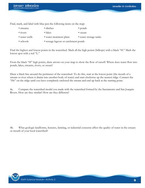
Find, mark, and label with blue pen the following items on the map:• streams • ditches • ponds• rivers • lakes • ocean• water wells • water treatment plant • water storage tanks• schools• sewage lagoon or catchment pondsFind the highest and lowest points in the watershed. Mark all the high points (hilltops) with a black “H.” Mark thelowest spot with a red “L.”From the black “H” high points, draw arrows on your map to show the flow of runoff. Where does water flow intoponds, lakes, streams, rivers, or ocean?Draw a black line around the perimeter of the watershed. To do this, start at the lowest point (the mouth of astream or river where it drains into another body of water) and start clockwise up the nearest ridge. Connect the“Hs” on the ridge until you have completely enclosed the stream and end up back at the starting point.4a. Compare the watershed model you made with the watershed formed by the Sacramento and San JoaquinRivers. How are they similar? How are they different?4b. What geologic landforms, features, farming, or industrial concerns affect the quality of water in the estuaryor mouth of your local watershed?Earth <strong>Science</strong> <strong>Module</strong>—Activity 39