NG2 December/January 2020
Local business directory and community magazine.
Local business directory and community magazine.

Create successful ePaper yourself
Turn your PDF publications into a flip-book with our unique Google optimized e-Paper software.
Cotgrave Forest Walk<br />
Walk distance: about 4 miles<br />
Difficulty: Easy - but remember to bring your wellies<br />
as the paths get extremely muddy!<br />
Pub stop: None<br />
Walks With Emily & Friends<br />
Starting point: Lambing Gap Lane (free parking)<br />
This walk can get very muddy during wet weather,<br />
but the views over Nottingham and Trent Valley are<br />
worth getting a bit mucky for.<br />
Cotgrave Forest itself is owned privately and<br />
although there are public footpaths and bridleways<br />
throughout, there are signs advising shooting takes<br />
place there, so it is a good idea to keep your dog<br />
on a lead if you haven’t yet mastered a good recall.<br />
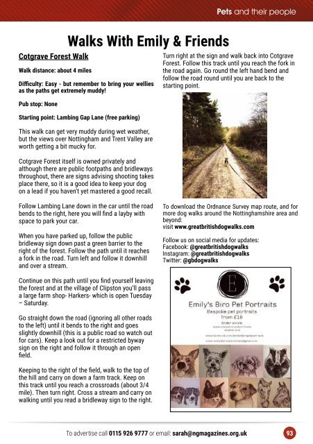
Turn right at the sign and walk back into Cotgrave<br />
Forest. Follow this track until you reach the fork in<br />
the road again. Go round the left hand bend and<br />
follow the road round until you are back to the<br />
starting point.<br />
Follow Lambing Lane down in the car until the road<br />
bends to the right, here you will find a layby with<br />
space to park your car.<br />
When you have parked up, follow the public<br />
bridleway sign down past a green barrier to the<br />
right of the forest. Follow the path until it reaches<br />
a fork in the road. Turn left and follow it downhill<br />
and over a stream.<br />
To download the Ordnance Survey map route, and for<br />
more dog walks around the Nottinghamshire area and<br />
beyond:<br />
visit www.greatbritishdogwalks.com<br />
Follow us on social media for updates:<br />
Facebook: @greatbritishdogwalks<br />
Instagram: @greatbritishdogwalks<br />
Twitter: @gbdogwalks<br />
Continue on this path until you find yourself leaving<br />
the forest and at the village of Clipston you’ll pass<br />
a large farm shop- Harkers- which is open Tuesday<br />
– Saturday.<br />
Go straight down the road (ignoring all other roads<br />
to the left) until it bends to the right and goes<br />
slightly downhill (this is a public road so watch out<br />
for cars). Keep a look out for a restricted byway<br />
sign on the right and follow it through an open<br />
field.<br />
Keeping to the right of the field, walk to the top of<br />
the hill and carry on down a farm track. Keep on<br />
this track until you reach a crossroads (about 3/4<br />
mile). Then turn right. Cross a stream and carry on<br />
walking until you read a bridleway sign to the right.<br />
To advertise call 0115 926 9777 or email: sarah@ngmagazines.org.uk 93