
Create successful ePaper yourself
Turn your PDF publications into a flip-book with our unique Google optimized e-Paper software.
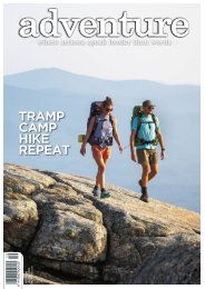
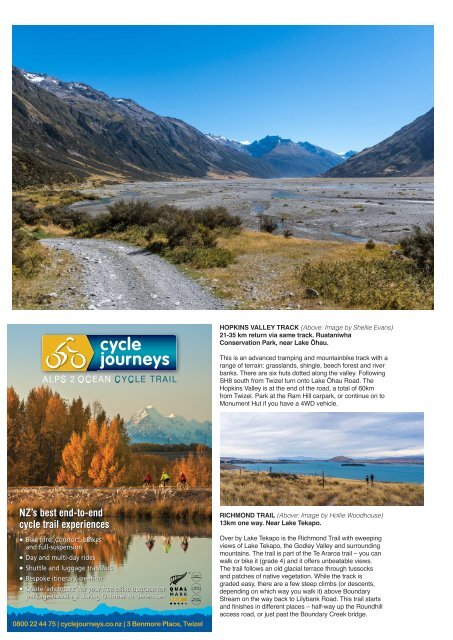
HOPKINS VALLEY TRACK (Above: Image by Shellie Evans)<br />
21-35 km return via same track. Ruataniwha<br />
Conservation Park, near Lake Ōhau.<br />
This is an advanced tramping and mountainbike track with a<br />
range of terrain: grasslands, shingle, beech forest and river<br />
banks. There are six huts dotted along the valley. Following<br />
SH8 south from Twizel turn onto Lake Ōhau Road. The<br />
Hopkins Valley is at the end of the road, a total of 60km<br />
from Twizel. Park at the Ram Hill carpark, or continue on to<br />
Monument Hut if you have a 4WD vehicle.<br />
RICHMOND TRAIL (Above: Image by Hollie Woodhouse)<br />
13km one way. Near Lake Tekapo.<br />
0800 22 44 75 | cyclejourneys.co.nz | 3 Benmore Place, Twizel<br />
Over by Lake Tekapo is the Richmond Trail with sweeping<br />
views of Lake Tekapo, the Godley Valley and surrounding<br />
mountains. The trail is part of the Te Araroa trail – you can<br />
walk or bike it (grade 4) and it offers unbeatable views.<br />
The trail follows an old glacial terrace through tussocks<br />
and patches of native vegetation. While the track is<br />
graded easy, there are a few steep climbs (or descents,<br />
depending on which way you walk it) above Boundary<br />
Stream on the way back to Lilybank Road. This trail starts<br />
and finishes in different places – half-way up the Roundhill<br />
access road, or just past the Boundary Creek bridge.