Gone are the Good 'Ole Days - Tybee Breeze
Gone are the Good 'Ole Days - Tybee Breeze
Gone are the Good 'Ole Days - Tybee Breeze

You also want an ePaper? Increase the reach of your titles
YUMPU automatically turns print PDFs into web optimized ePapers that Google loves.
It’s already <strong>the</strong> 1 st of August and<br />
with just 20 days until <strong>the</strong> arrival of<br />
“peak” hurricane season, ARE YOU<br />
READY??? Well if ya aint?? It’s your<br />
own fault.<br />
The Citizen’s Hurricane<br />
Prep<strong>are</strong>dness Program recently<br />
presented by <strong>the</strong> City of <strong>Tybee</strong> was a most<br />
informative and interesting event. Representatives<br />
from various organizations that would play a key<br />
role before, during and after a hurricane strike were<br />
set up to pass out information and answer<br />
questions. Paul Yuma of <strong>the</strong> National Wea<strong>the</strong>r<br />
Service gave an interesting presentation on<br />
22<br />
<strong>Tybee</strong> <strong>Breeze</strong><br />
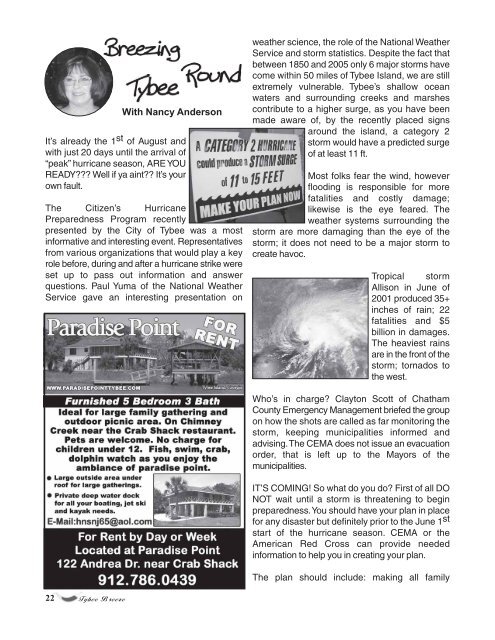
With Nancy Anderson<br />
wea<strong>the</strong>r science, <strong>the</strong> role of <strong>the</strong> National Wea<strong>the</strong>r<br />
Service and storm statistics. Despite <strong>the</strong> fact that<br />
between 1850 and 2005 only 6 major storms have<br />
come within 50 miles of <strong>Tybee</strong> Island, we <strong>are</strong> still<br />
extremely vulnerable. <strong>Tybee</strong>’s shallow ocean<br />
waters and surrounding creeks and marshes<br />
contribute to a higher surge, as you have been<br />
made aw<strong>are</strong> of, by <strong>the</strong> recently placed signs<br />
around <strong>the</strong> island, a category 2<br />
storm would have a predicted surge<br />
of at least 11 ft.<br />
Most folks fear <strong>the</strong> wind, however<br />
flooding is responsible for more<br />
fatalities and costly damage;<br />
likewise is <strong>the</strong> eye fe<strong>are</strong>d. The<br />
wea<strong>the</strong>r systems surrounding <strong>the</strong><br />
storm <strong>are</strong> more damaging than <strong>the</strong> eye of <strong>the</strong><br />
storm; it does not need to be a major storm to<br />
create havoc.<br />
Tropical storm<br />
Allison in June of<br />
2001 produced 35+<br />
inches of rain; 22<br />
fatalities and $5<br />
billion in damages.<br />
The heaviest rains<br />
<strong>are</strong> in <strong>the</strong> front of <strong>the</strong><br />
storm; tornados to<br />
<strong>the</strong> west.<br />
Who’s in charge? Clayton Scott of Chatham<br />
County Emergency Management briefed <strong>the</strong> group<br />
on how <strong>the</strong> shots <strong>are</strong> called as far monitoring <strong>the</strong><br />
storm, keeping municipalities informed and<br />
advising. The CEMA does not issue an evacuation<br />
order, that is left up to <strong>the</strong> Mayors of <strong>the</strong><br />
municipalities.<br />
IT’S COMING! So what do you do? First of all DO<br />
NOT wait until a storm is threatening to begin<br />
prep<strong>are</strong>dness. You should have your plan in place<br />
for any disaster but definitely prior to <strong>the</strong> June 1 st<br />
start of <strong>the</strong> hurricane season. CEMA or <strong>the</strong><br />
American Red Cross can provide needed<br />
information to help you in creating your plan.<br />
The plan should include: making all family