

Buletin Geospatial Sektor Awam - Bil 1/ 2007 - Malaysia Geoportal
Buletin Geospatial Sektor Awam - Bil 1/ 2007 - Malaysia Geoportal
Buletin Geospatial Sektor Awam - Bil 1/ 2007 - Malaysia Geoportal
- No tags were found...

Create successful ePaper yourself
Turn your PDF publications into a flip-book with our unique Google optimized e-Paper software.
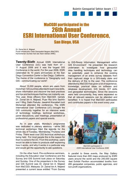
<strong>Buletin</strong> <strong>Geospatial</strong> <strong>Sektor</strong> <strong>Awam</strong> |32MaCGDI participated in the26th AnnualESRI International User Conference,San Diego, USADr. Zainal bin A. MajeedPusat Infrastruktur Data <strong>Geospatial</strong> Negara (MaCGDI)Kementerian Sumber Asli dan Alam Sekitar (NRE)Twenty-Sixth Annual ESRI InternationalUser Conference (UC) was held from 07 -11 August 2006 and it was the largest GISConference in the world. For the year 2006, ESRIcelebrated its 10 years anniversary at the SanDiego Convention Center in San Diego, California.The theme of the conference is “Geography andGIS - communicating our world”.About 15,000 people, whom are users frommore than 120 countries attended to learn new skills,share information and discover the best practicesand tips and techniques that they can instantly use.This year, three officers from MaCGDI, namelyDr. Zainal bin A. Majeed, Puan Ria binti Sachlinand Y.Bhg. Datin Paduka Jawahiril Kamaliah bintiMohamad attended the conference. The ESRIInternational User Conference (UC) brought theGIS community together for an intensive weekof technology briefings, technical workshops,panel discussions, user meetings, presentation ofprofessional papers and special events.As in past years, Monday’s programmewas dedicated to plenary sessions —while 380technical workshops filled the agenda for thewhole day of Tuesday, Wednesday, Thursday andFriday. There were over 200 technical workshopsbeing held. For most people this is the reason forthem to come to the UC. From this workshop, userswould be able to listen to products staff explaininghow it works, and why it works in a particular wayand would get the opportunity to ask questions.On the other hand, Pre-conference seminars,including the Education User Conference and theSurvey and GIS Summit took place on Saturdayand Sunday. One of the presenters in the Surveyand GIS Summit was Dr. Zainal bin A. Majeedfrom MaCGDI, <strong>Malaysia</strong>. Dr. Zainal bin A. Majeedpresented a current issue entitled “From Surveyto GIS-Ready Information: Management withinGIS Environment”. He presented the researchundertaken to investigate how geospatialdata handling techniques and technology canbe potentially used to enhance the existingmanagement of an entire survey datasets fromtheir captured stage to a GIS-ready state andthe delivery of this to the user. The conferenceattended by MaCGDI has given a lot of experience,knowledge, practical ideas on software anddatabase development, GIS trends, ICT skillsand geospatial technologies. Since the sessionswere held concurrently, they were separated sothat all relevant sessions can be attended andbenefited. It is hoped that MaCGDI participatesand contributes papers in this event every year.MaCGDI participated inESRI International User Confrence 2006In parallel to these events, the Map Galleryfeatured more than 800 maps produced by ESRIusers around the world and the 240,000 square-feet Exhibit Pavilion accomodated booths from285 geospatial companies, public agencies, andnon-profit organizations.


